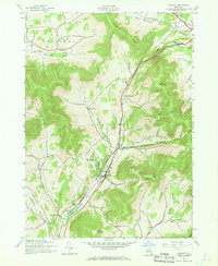
1945 Map of Roxbury
USGS Topo · Published 1968About this map
The East Branch Delaware River carves through the Catskills in this 1940s landscape, dictating the development of the river-valley communities of Roxbury and Hubbell Corners. This era reveals a high-relief terrain where life is organized around the narrow valleys and the Central New York rail line that follows the water's edge. Upland settlements like Moffit Settlement, More Settlement, and West Settlement suggest a history of high-altitude farming and isolated family clusters connected by winding mountain roads. Landmarks such as Township Ch and Yellow Ch provide points of interest for genealogists tracing local parishes. The map highlights the dominance of the Moresville Range and Irish Mountain, which hem in the settlements and define the limits of the Township Valley.
Find a feature on this map
34 named features on this map. Tap any name to fly to it.
Don’t see what you’re looking for? This feature index may not catch every label — zoom into the map to look around manually.
Map Details
Editions of this 1945 Roxbury Map
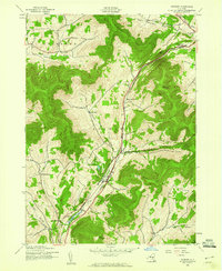
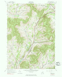
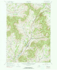
4 editions found
Other maps of this area

1900 · Phoenicia
USGS Topo · 1:62,500

1901 · Margaretville
USGS Topo · 1:62,500

1901 · Gilboa
USGS Topo · 1:62,500

1903 · Gilboa
USGS Topo · 1:62,500

1903 · Phoenicia
USGS Topo · 1:62,500

1904 · Hobart
USGS Topo · 1:62,500

1904 · Margaretville
USGS Topo · 1:62,500

1945 · West Kill
USGS Topo · 1:24,000

1945 · Gilboa
USGS Topo · 1:24,000

1945 · Fleischmanns
USGS Topo · 1:24,000