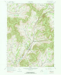
1945 Map of Roxbury
USGS Topo · Published 1985About this map
The East Branch Delaware River carves a central path through the mountains of Delaware County, anchoring a landscape where rail and topography dictate the layout of small settlements. The New York Central railroad runs parallel to the river and highway, connecting the town of Roxbury with Hubbell Corners and the higher elevation Grand Gorge Station. This mid-century view shows a cluster of high-altitude farming and residential pockets, including several historically significant family-named nodes such as Moffit Settlement, More Settlement, and West Settlement.
Find a feature on this map
36 named features on this map. Tap any name to fly to it.
Don’t see what you’re looking for? This feature index may not catch every label — zoom into the map to look around manually.
Map Details
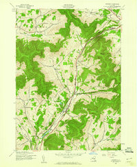
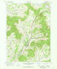
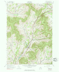
Editions of this 1945 Roxbury Map
4 editions found
Other maps of this area

1900 · Phoenicia
USGS Topo · 1:62,500

1901 · Margaretville
USGS Topo · 1:62,500

1901 · Gilboa
USGS Topo · 1:62,500

1903 · Gilboa
USGS Topo · 1:62,500

1903 · Phoenicia
USGS Topo · 1:62,500

1904 · Hobart
USGS Topo · 1:62,500

1904 · Margaretville
USGS Topo · 1:62,500

1945 · West Kill
USGS Topo · 1:24,000

1945 · Gilboa
USGS Topo · 1:24,000

1945 · Fleischmanns
USGS Topo · 1:24,000