
1952 Map of Ruby A-5
USGS Topo · Published 1957About this map
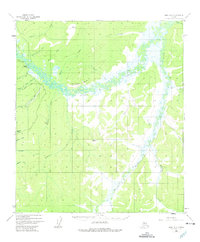
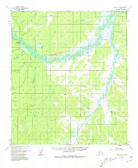
Sulatna Crossing serves as a key reference point in this Alaskan interior landscape, situated where the meandering Sulatna River winds between the prominent Sulatna Bluff and Tamarack Bluff. The map documents a territory defined by its hydraulic history and seasonal transit, notably featuring the Fourth of July Ditch (Aband) and a Strip Mine located along July Creek. These features point to a legacy of early 20th-century gold mining operations that once relied on complex water diversion systems.
Find a feature on this map
32 named features on this map. Tap any name to fly to it.
Don’t see what you’re looking for? This feature index may not catch every label — zoom into the map to look around manually.
Map Details
Editions of this 1952 Ruby A-5 Map
3 editions found
Other maps of this area

1950 · Medfra
USGS Topo · 1:250,000

1951 · Ruby
USGS Topo · 1:250,000

1952 · Ruby A-4
USGS Topo · 1:63,360

1952 · Ruby B-6
USGS Topo · 1:63,360

1952 · Ruby B-4
USGS Topo · 1:63,360

1952 · Ruby B-5
USGS Topo · 1:63,360

1952 · Ruby A-6
USGS Topo · 1:63,360

1952 · Ruby
USGS Topo · 1:250,000

1954 · Medfra D-5
USGS Topo · 1:63,360

1954 · Medfra D-6
USGS Topo · 1:63,360