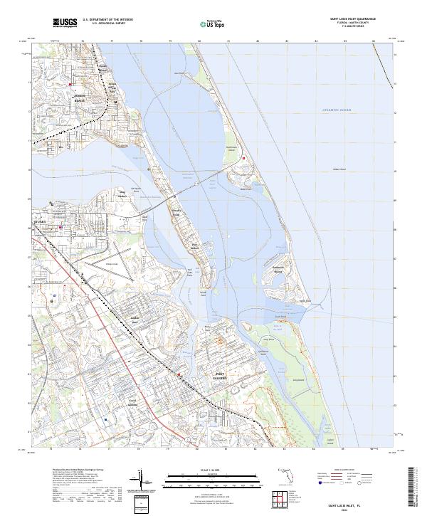
2024 Map of Saint Lucie Inlet
USGS Topo · Published 2024About this map
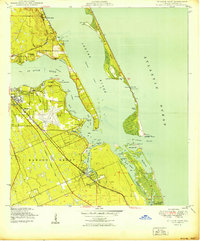
Saint Lucie Inlet serves as the central focal point of this coastal survey, where the Saint Lucie River and Indian River lagoon system meet the Atlantic Ocean. The landscape is defined by its intricate waterways and barrier islands, featuring Hutchinson Island to the north and Jupiter Island to the south. Along the western shores, the established communities of Stuart, Jensen Beach, and Port Salerno are shown with their dense street grids, while the peninsula of Sewall's Point divides the river branches.
Find a feature on this map
246 named features on this map. Tap any name to fly to it.
Don’t see what you’re looking for? This feature index may not catch every label — zoom into the map to look around manually.
Map Details
Editions of this 2024 Saint Lucie Inlet Map
This is the sole edition of this map. No revisions or reprints were ever made.
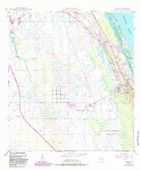
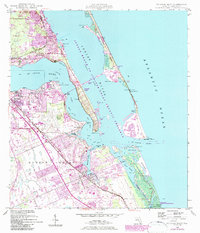
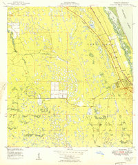
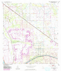
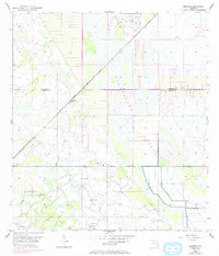
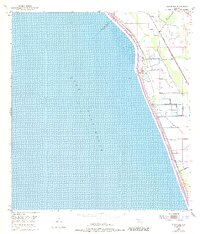
Historical Maps of Port Sewall Through Time
17 maps found
1948 Gomez
Martin County, FL
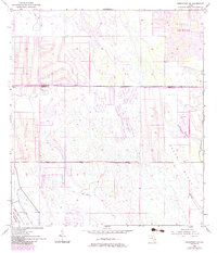
1948 St. Lucie Inlet
Martin County, FL
1949 Gomez
Martin County, FL
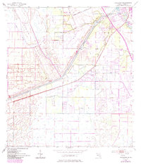
1950 St. Lucie Inlet
Martin County, FL
1953 Barley Barber Swamp
Martin County, FL
1953 Bluefield
Martin County, FL
1953 Chaney Bay
Martin County, FL
1953 Indiantown NW
Martin County, FL
1953 Indiantown SE
Martin County, FL
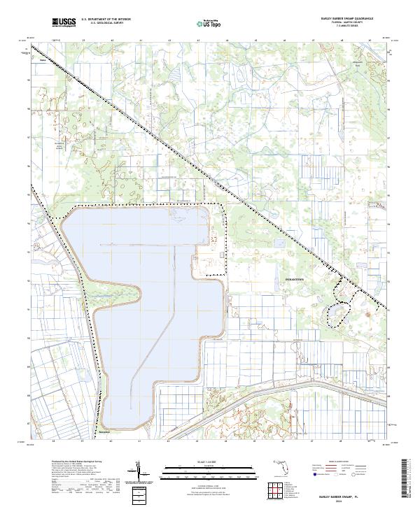
2024 Barley Barber Swamp
Martin County, FL
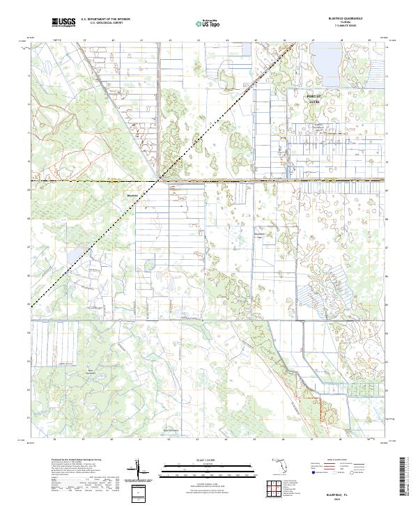
2024 Bluefield
Martin County, FL
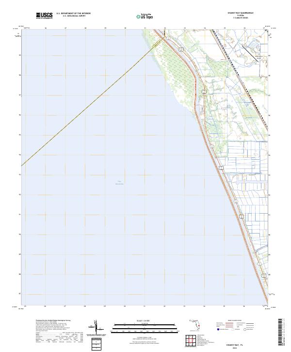
2024 Chancy Bay
Martin County, FL
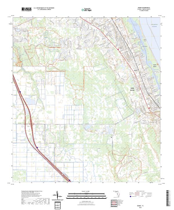
2024 Gomez
Martin County, FL
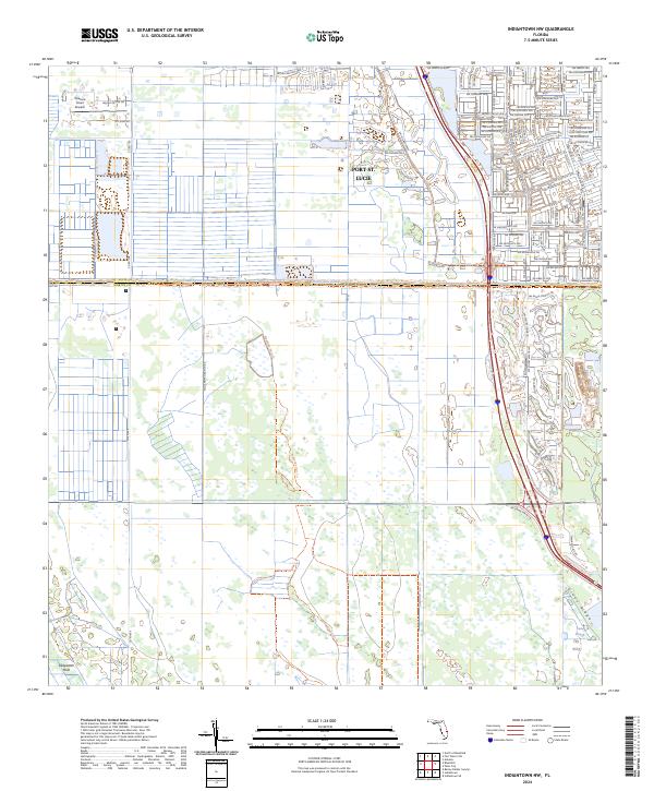
2024 Indiantown NW
Martin County, FL
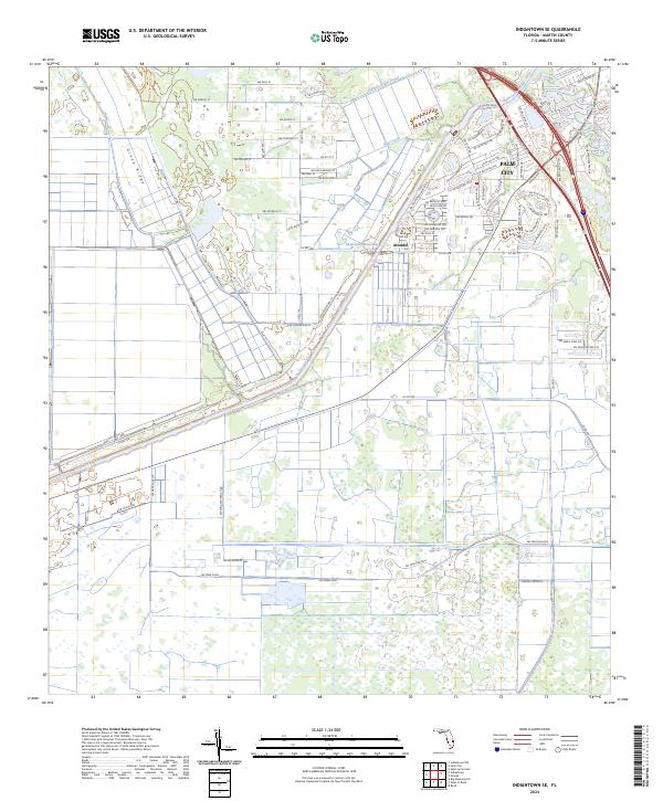
2024 Indiantown SE
Martin County, FL
2024 Port Mayaca OE W
Martin County, FL
2024 Saint Lucie Inlet
Martin County, FL