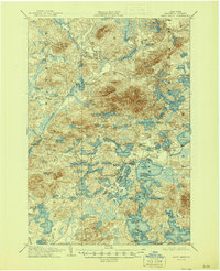
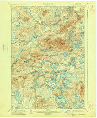
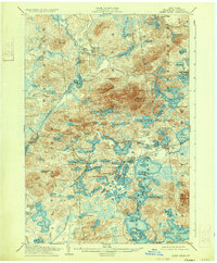
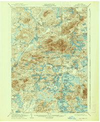
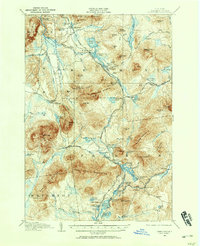
1905 Map of Saint Regis
USGS Topo · Published 1945About this map
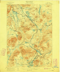
Paul Smiths and the eastern edge of the Adirondack Division rail corridor define this pocket of Franklin County at the start of the twentieth century. The landscape is an intricate network of glacial lakes and wetlands, including Floodwood Pond, Lydia Pond, and Heavens Lake, punctuated by prominent peaks like St Regis Mt and Buck Mt. These waterways were critical for the regional logging industry and the burgeoning recreation movement that saw the rise of wilderness retreats.
Find a feature on this map
107 named features on this map. Tap any name to fly to it.
Don’t see what you’re looking for? This feature index may not catch every label — zoom into the map to look around manually.
Map Details
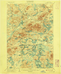
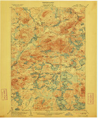
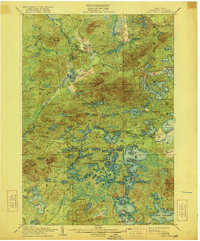
Editions of this 1905 Saint Regis Map
9 editions found

Other maps of this area

1902 · Saranac
USGS Topo · 1:62,500

1904 · Saranac
USGS Topo · 1:62,500

1904 · Santanoni
USGS Topo · 1:62,500

1904 · Long Lake
USGS Topo · 1:62,500

1905 · Saint Regis
USGS Topo · 1:62,500
1906 · Loon Lake
USGS Topo · 1:62,500

1907 · Tupper Lake
USGS Topo · 1:62,500
1908 · Loon Lake
USGS Topo · 1:62,500

1919 · Nicholville
USGS Topo · 1:62,500

1920 · Childwold
USGS Topo · 1:62,500