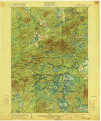
1905 Map of Saint Regis
USGS Topo · Published 1921About this map
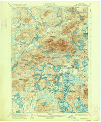
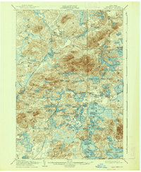
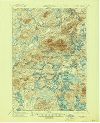
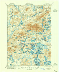
Paul Smiths and the surrounding wilderness of Franklin County define this early 20th-century landscape, a region where the Adirondack tourism and timber economies were firmly established. The map documents the northern reaches of the Upper Saranac Lake and the intricate chain of waters including Lower St Regis Lake, Spitfire Lake, and Upper St Regis Lake. Settlement patterns are tightly tied to transportation, with the New York and Ottawa R. R. cutting through the western section at Derrick and Brandon, while the Adirondack Division rail line serves Saranac Inn Sta. near the shores of Lake Clear. High peaks like St Regis Mt and Sugar Hill tower over the numerous ponds and bays, including Saginaw Bay and Osgood Pond. The presence of the Saranac Club and the developed points like Markham Pt and Wawbeek reflect the era's flourishing sporting culture and the rise of great camps in the North Country.
Find a feature on this map
110 named features on this map. Tap any name to fly to it.
Don’t see what you’re looking for? This feature index may not catch every label — zoom into the map to look around manually.
Map Details
Editions of this 1905 Saint Regis Map
9 editions found
Other maps of this area

1902 · Saranac
USGS Topo · 1:62,500

1904 · Saranac
USGS Topo · 1:62,500

1904 · Santanoni
USGS Topo · 1:62,500

1904 · Long Lake
USGS Topo · 1:62,500

1905 · Saint Regis
USGS Topo · 1:62,500

1906 · Loon Lake
USGS Topo · 1:62,500

1907 · Tupper Lake
USGS Topo · 1:62,500

1908 · Loon Lake
USGS Topo · 1:62,500

1919 · Nicholville
USGS Topo · 1:62,500

1920 · Childwold
USGS Topo · 1:62,500