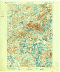
1905 Map of Saint Regis
USGS Topo · Published 1933About this map
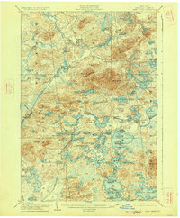
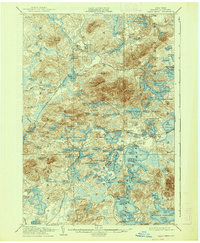
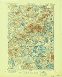
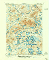
Paul Smiths and the surrounding wilderness of Franklin County are depicted here in a landscape defined by an intricate network of water and timber-line rail. The New York and Ottawa RR cuts through the western terrain, connecting isolated outposts like Derrick and Bay Pond. The map illustrates a transitional period for the Adirondacks, where early resort culture at the Saranac Club and Wawbeek began to intersect with the industrial reality of remote settlements like Brandon. The water system is particularly dense, centered on the sprawling St Regis Pond and the headwaters of the St Regis River. Topography is anchored by prominent peaks including St Regis Mt and Brandon Hill, overlooking a patchwork of smaller bodies such as Hoel Pond and Lake Clear. The presence of the Saranac Inn Sta marks the importance of rail access for the burgeoning seasonal population in the early twentieth century.
Find a feature on this map
114 named features on this map. Tap any name to fly to it.
Don’t see what you’re looking for? This feature index may not catch every label — zoom into the map to look around manually.
Map Details
Editions of this 1905 Saint Regis Map
9 editions found
Other maps of this area

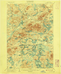
1902 · Saranac
USGS Topo · 1:62,500

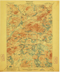
1904 · Saranac
USGS Topo · 1:62,500

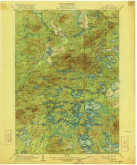
1904 · Santanoni
USGS Topo · 1:62,500

1904 · Long Lake
USGS Topo · 1:62,500

1905 · Saint Regis
USGS Topo · 1:62,500

1906 · Loon Lake
USGS Topo · 1:62,500

1907 · Tupper Lake
USGS Topo · 1:62,500

1908 · Loon Lake
USGS Topo · 1:62,500

1919 · Nicholville
USGS Topo · 1:62,500

1920 · Childwold
USGS Topo · 1:62,500