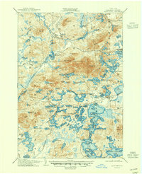
1905 Map of Saint Regis
USGS Topo · Published 1947About this map
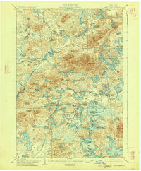
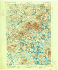
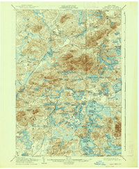
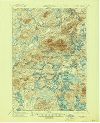
The Saint Regis River and its vast network of glacial ponds and lakes define this landscape at the turn of the century, when the Adirondacks were a prime destination for early wilderness tourism and resource extraction. The map reveals a transition from industrial activity to seasonal recreation, anchored by the New York Central and Hudson River railroad which brought visitors to remote outposts like Saranac Inn Sta. and the Saranac Club.
Find a feature on this map
121 named features on this map. Tap any name to fly to it.
Don’t see what you’re looking for? This feature index may not catch every label — zoom into the map to look around manually.
Map Details
Editions of this 1905 Saint Regis Map
9 editions found
Other maps of this area

1902 · Saranac
USGS Topo · 1:62,500

1904 · Saranac
USGS Topo · 1:62,500

1904 · Santanoni
USGS Topo · 1:62,500

1904 · Long Lake
USGS Topo · 1:62,500

1905 · Saint Regis
USGS Topo · 1:62,500

1906 · Loon Lake
USGS Topo · 1:62,500

1907 · Tupper Lake
USGS Topo · 1:62,500

1908 · Loon Lake
USGS Topo · 1:62,500

1919 · Nicholville
USGS Topo · 1:62,500

1920 · Childwold
USGS Topo · 1:62,500