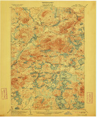
1905 Map of Saint Regis
USGS Topo · Published 1911About this map
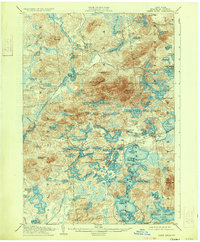
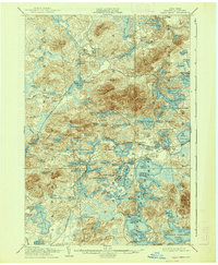
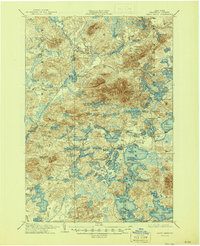
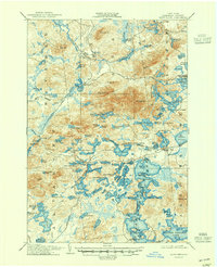
Saranac Inn and the prominent Paul Smiths estate anchor this 1905 topographically detailed landscape in Franklin County, New York. The map reveals a complex Adirondack network of water and rail during the height of the Great Camp era, featuring the Upper Saint Regis Lake and Lake Clear watersheds. Early industrial and tourist transit is clearly defined by the New York and Ottawa River RR cutting through the western timberlands near Derrick and Brandon, while the Adirondack Division rail line services the growing resort community at Saranac Inn Sta.. From the heights of St Regis Mt. to the numerous smaller bodies like Quebec Pond and Slush Pond, the survey documents the precise hydrological and topographic character of the North Country before the widespread expansion of modern road networks.
Find a feature on this map
113 named features on this map. Tap any name to fly to it.
Don’t see what you’re looking for? This feature index may not catch every label — zoom into the map to look around manually.
Map Details
Editions of this 1905 Saint Regis Map
9 editions found
Other maps of this area

1902 · Saranac
USGS Topo · 1:62,500

1904 · Saranac
USGS Topo · 1:62,500

1904 · Santanoni
USGS Topo · 1:62,500

1904 · Long Lake
USGS Topo · 1:62,500

1905 · Saint Regis
USGS Topo · 1:62,500

1906 · Loon Lake
USGS Topo · 1:62,500

1907 · Tupper Lake
USGS Topo · 1:62,500

1908 · Loon Lake
USGS Topo · 1:62,500

1919 · Nicholville
USGS Topo · 1:62,500

1920 · Childwold
USGS Topo · 1:62,500