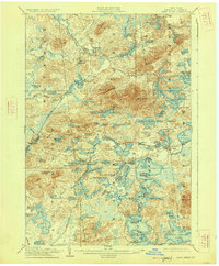
1905 Map of Saint Regis
USGS Topo · Published 1927About this map
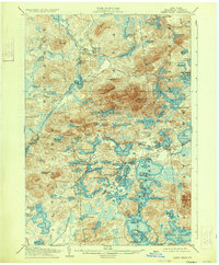
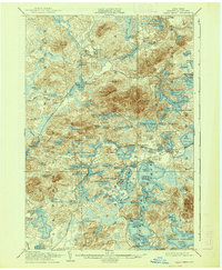
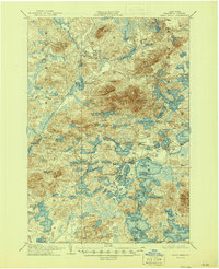
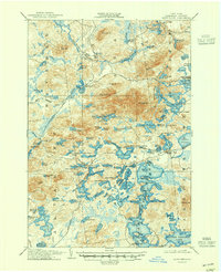
Paul Smiths stands as a focal point in this early twentieth-century survey of the Adirondack wilderness, where established lakeside institutions began to punctuate the dense network of waterways. The landscape is defined by the headwaters of the Saint Regis River and a sprawling complex of interconnected lakes, including Upper St Regis Lake, Spitfire Lake, and Lower St Regis Lake. This era shows the critical role of the New York Central and Hudson River Railroad in providing access to these northern woods, with the Saranac Inn Sta. serving as a gateway for travelers and sportsmen visiting the Saranac Club. High peaks like St Regis Mt and Jenkins Mt overlook a labyrinth of smaller glacial features such as Osgood Pond and Slush Pond. The presence of the settlement at Brandon and the remote outpost at Wawbeek illustrates the early footprints of timber interest and early tourism within the townships of Santa Clara and Brighton.
Find a feature on this map
113 named features on this map. Tap any name to fly to it.
Don’t see what you’re looking for? This feature index may not catch every label — zoom into the map to look around manually.
Map Details
Editions of this 1905 Saint Regis Map
9 editions found
Other maps of this area

1902 · Saranac
USGS Topo · 1:62,500

1904 · Saranac
USGS Topo · 1:62,500

1904 · Santanoni
USGS Topo · 1:62,500

1904 · Long Lake
USGS Topo · 1:62,500

1905 · Saint Regis
USGS Topo · 1:62,500

1906 · Loon Lake
USGS Topo · 1:62,500

1907 · Tupper Lake
USGS Topo · 1:62,500

1908 · Loon Lake
USGS Topo · 1:62,500

1919 · Nicholville
USGS Topo · 1:62,500

1920 · Childwold
USGS Topo · 1:62,500