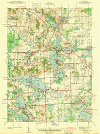
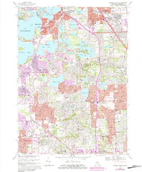
2023 Map of Salem
USGS Topo · Published 2023About this map
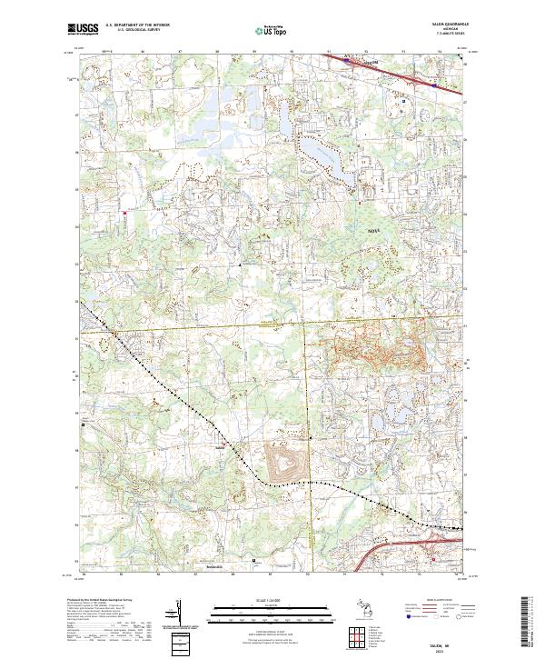
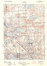
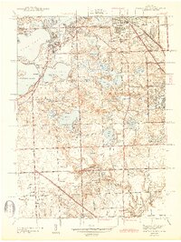
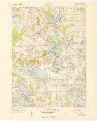
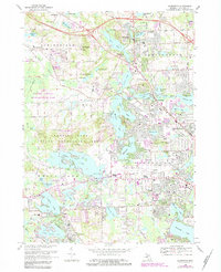
Oakland, Washtenaw, and Wayne counties meet at a significant tri-county junction within this suburban and rural landscape. The settlement of Salem and the smaller locality of Brookville anchor the southern portion of the sheet, where agricultural history is preserved in several burial grounds including Salem - Walker Cem and Thayer Cem. Further north, the expanding residential corridors of Novi and Wixom are visible, shaped by the path of the Novi Lyon Drain and the northern presence of Lake Angela. A large tract of protected land is found at Maybury State Park, providing a distinct break in the local grid. This modern survey illustrates the persistent importance of the section-line road system, with thoroughfares like 8 Mile Rd and N Territorial Rd serving as the primary skeleton for regional transport and land division.
Find a feature on this map
38 named features on this map. Tap any name to fly to it.
Don’t see what you’re looking for? This feature index may not catch every label — zoom into the map to look around manually.
Map Details
Editions of this 2023 Salem Map
This is the sole edition of this map. No revisions or reprints were ever made.
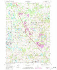
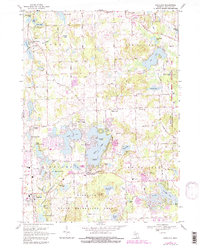
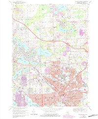
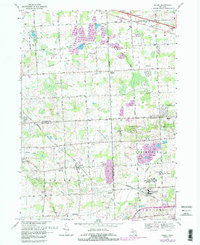
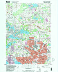
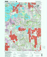
Historical Maps of Northville Through Time
30 maps found
1936 Clarkston
Oakland County, MI
1936 Highland
Oakland County, MI
1936 Pontiac North
Oakland County, MI
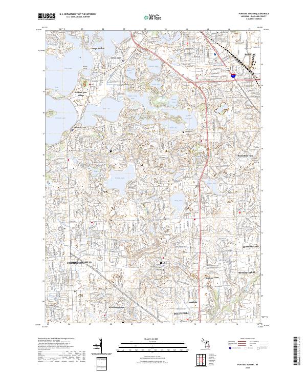
1936 Pontiac South
Oakland County, MI
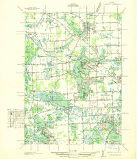
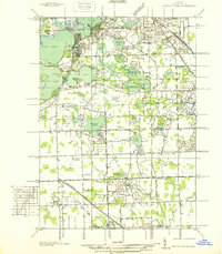
1936 Salem
Oakland County, MI
1942 Highland
Oakland County, MI
1943 Clarkston
Oakland County, MI
1943 Pontiac North
Oakland County, MI
1943 Pontiac South
Oakland County, MI
1945 Davisburg
Oakland County, MI
1945 Highland
Oakland County, MI

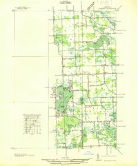
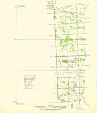
1945 Salem
Oakland County, MI
1952 Clarkston
Oakland County, MI
1952 Pontiac North
Oakland County, MI
1952 Pontiac South
Oakland County, MI
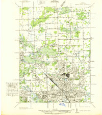
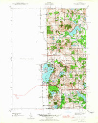
1953 Salem
Oakland County, MI
1968 Clarkston
Oakland County, MI
1968 Davisburg
Oakland County, MI
1968 Highland
Oakland County, MI
1968 Pontiac North
Oakland County, MI
1968 Pontiac South
Oakland County, MI
1969 Salem
Oakland County, MI
1997 Pontiac North
Oakland County, MI
1997 Pontiac South
Oakland County, MI
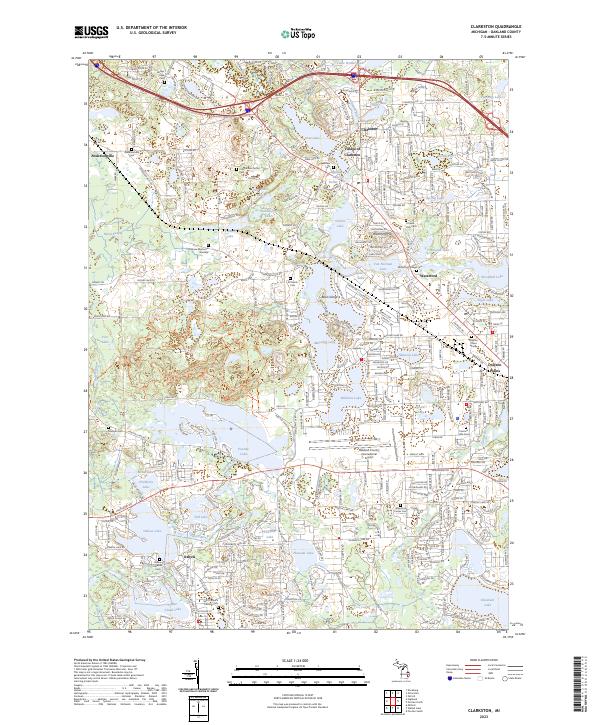
2023 Clarkston
Oakland County, MI
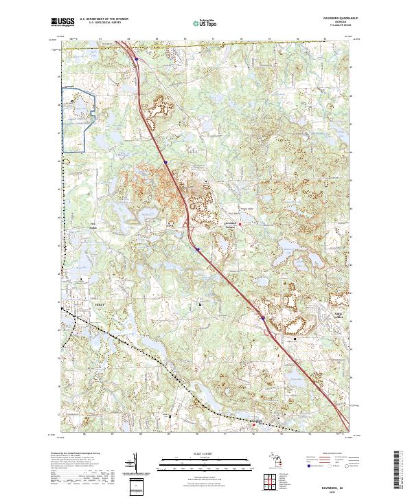
2023 Davisburg
Oakland County, MI
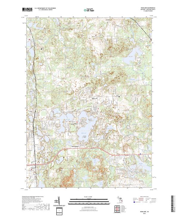
2023 Highland
Oakland County, MI
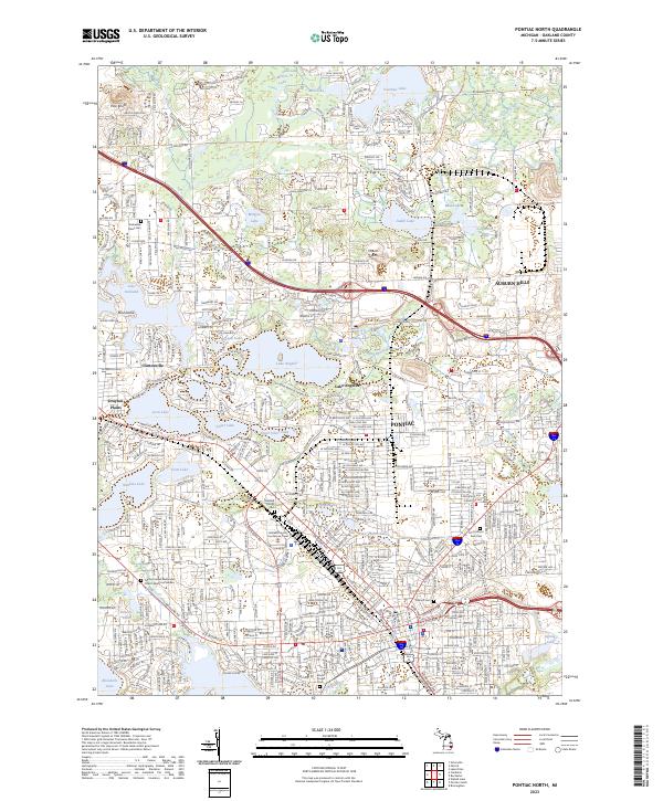
2023 Pontiac North
Oakland County, MI
2023 Pontiac South
Oakland County, MI
2023 Salem
Oakland County, MI
Featured Locations
- Wixom, MI
- Lyon Charter Township, MI
- Novi, MI
- Northville Charter Township, MI
- Plymouth Charter Township, MI