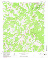
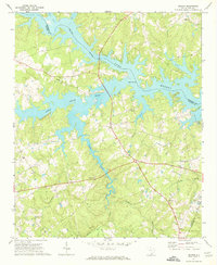
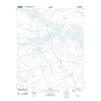
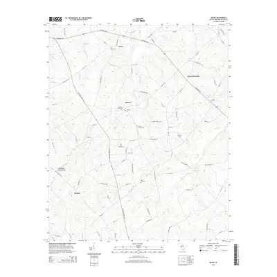
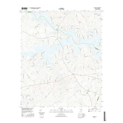
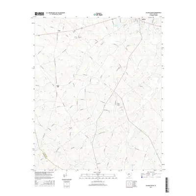
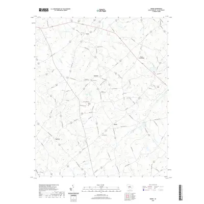
1964 Map of Saluda South
USGS Topo · Published 1982About this map
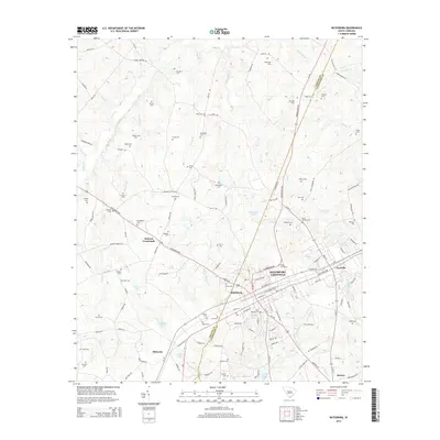
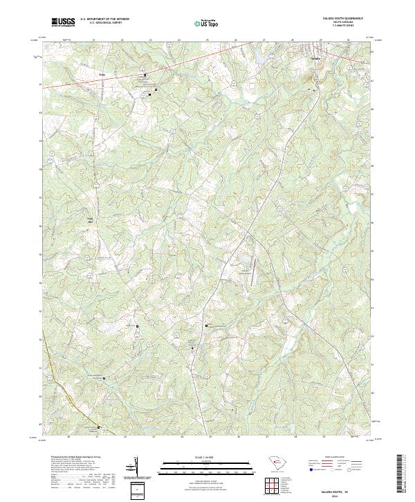
Saluda anchors the northeastern corner of this South Carolina landscape, where the town's early infrastructure is visible through a Waterworks, Pumping Sta, and a Heliport. The rural surroundings are defined by a dense network of country congregations and family burial grounds, reflecting the social fabric of the mid-20th century. Notable local landmarks include Lockhart Ch, Gasaway Ch, and Penn Creek Ch, alongside family-named sites like Wright Cem and Hill Cem.
Find a feature on this map
36 named features on this map. Tap any name to fly to it.
Don’t see what you’re looking for? This feature index may not catch every label — zoom into the map to look around manually.
Map Details
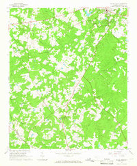
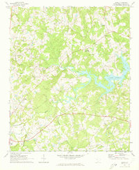
Editions of this 1964 Saluda South Map
2 editions found
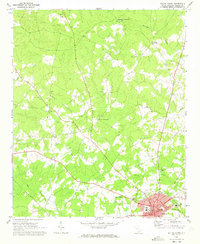
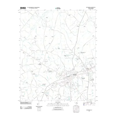
Historical Maps of Saluda Through Time
36 maps found
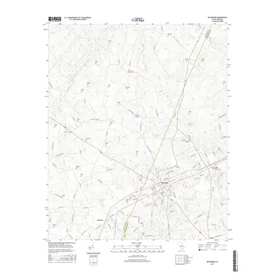
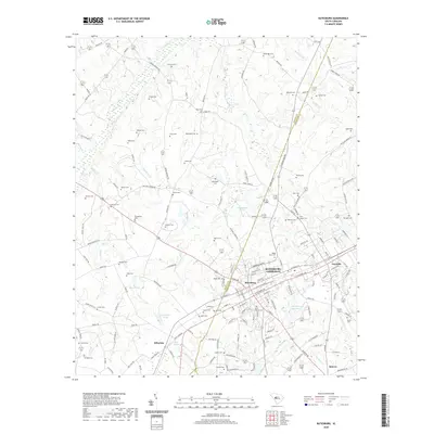
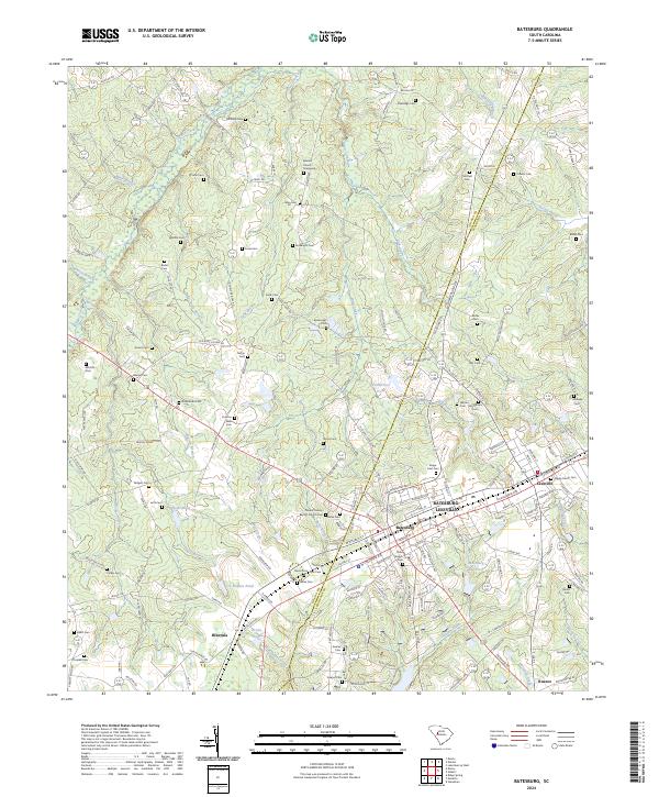
1964 Batesburg
Saluda County, SC
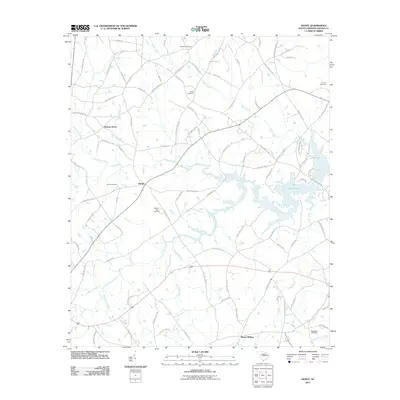
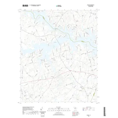
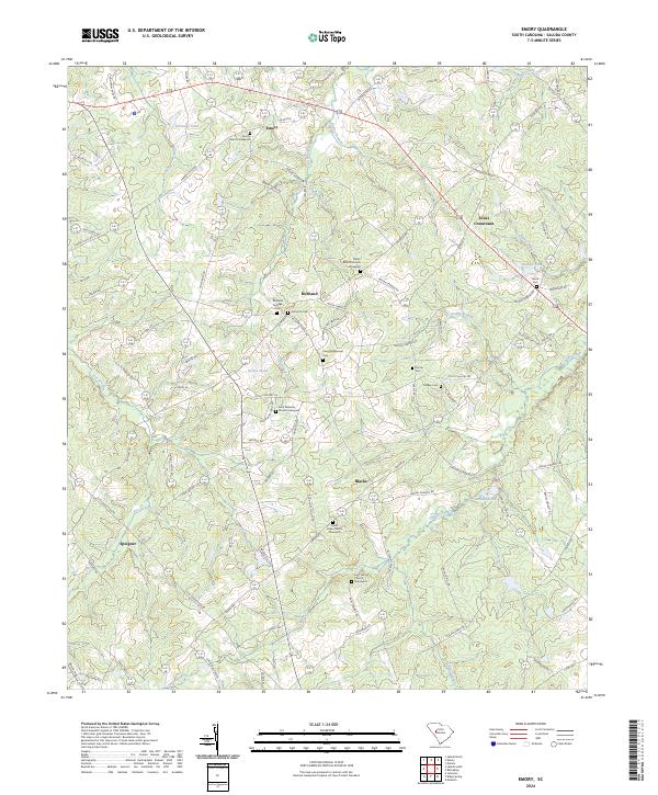
1964 Emory
Saluda County, SC
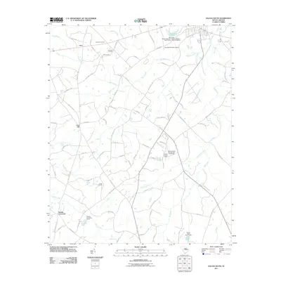
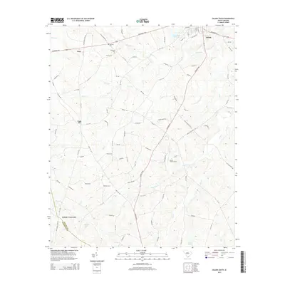
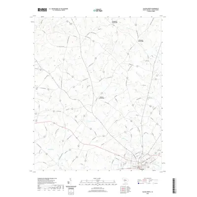
1964 Saluda South
Saluda County, SC
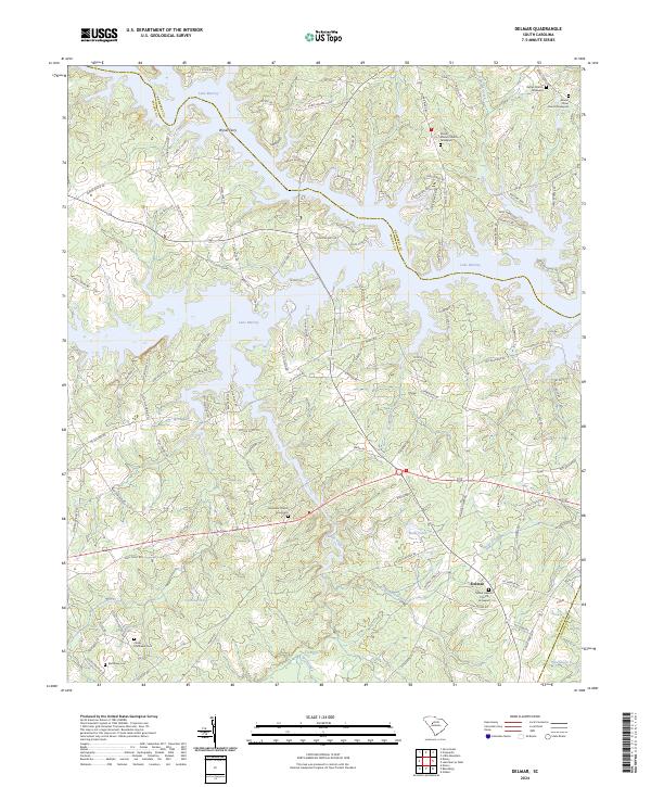
1970 Delmar
Saluda County, SC
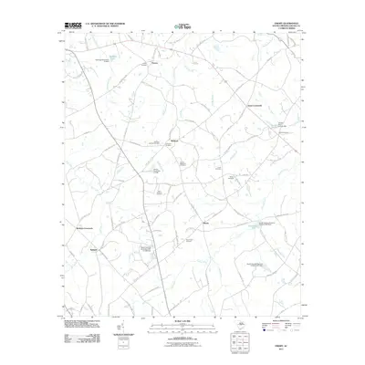
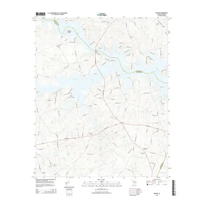
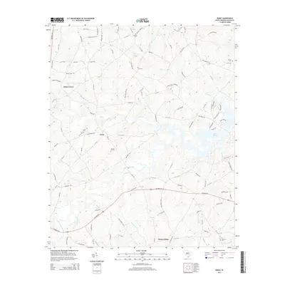
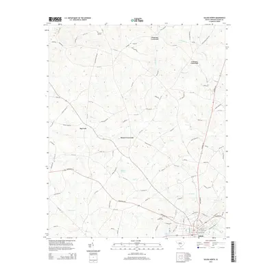
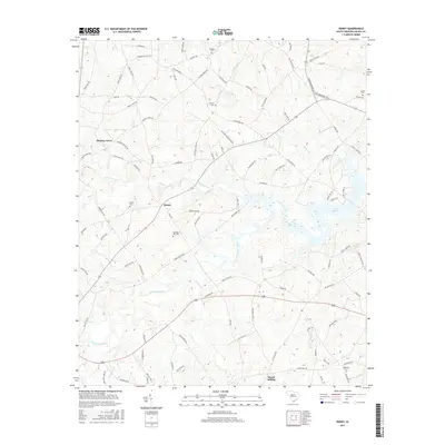
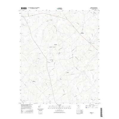
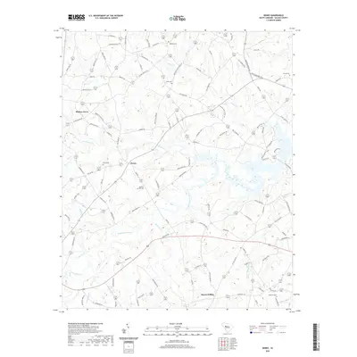
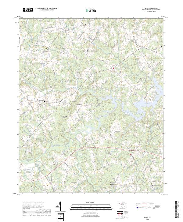
1971 Denny
Saluda County, SC
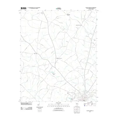
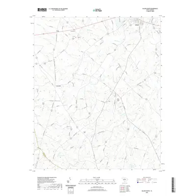
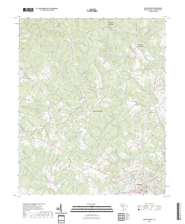
1971 Saluda North
Saluda County, SC
2011 Batesburg
Saluda County, SC
2011 Delmar
Saluda County, SC
2011 Denny
Saluda County, SC
2011 Emory
Saluda County, SC
2011 Saluda North
Saluda County, SC
2011 Saluda South
Saluda County, SC
2014 Batesburg
Saluda County, SC
2014 Delmar
Saluda County, SC
2014 Denny
Saluda County, SC
2014 Emory
Saluda County, SC
2014 Saluda North
Saluda County, SC
2014 Saluda South
Saluda County, SC
2017 Batesburg
Saluda County, SC
2017 Delmar
Saluda County, SC
2017 Denny
Saluda County, SC
2017 Emory
Saluda County, SC
2017 Saluda North
Saluda County, SC
2017 Saluda South
Saluda County, SC
2020 Batesburg
Saluda County, SC
2020 Delmar
Saluda County, SC
2020 Denny
Saluda County, SC
2020 Emory
Saluda County, SC
2020 Saluda North
Saluda County, SC
2020 Saluda South
Saluda County, SC
2024 Batesburg
Saluda County, SC
2024 Delmar
Saluda County, SC
2024 Denny
Saluda County, SC
2024 Emory
Saluda County, SC
2024 Saluda North
Saluda County, SC
2024 Saluda South
Saluda County, SC