
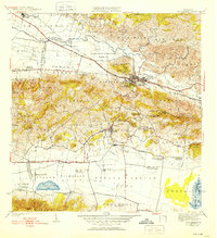
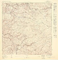
1941 Map of San German
USGS Topo · Published 1941This historical map portrays the area of San German in 1941, primarily covering San Germán Municipio as well as portions of Cabo Rojo Municipio, Hormigueros Municipio, and Lajas Municipio. Featuring a scale of 1:30000, this map provides a highly detailed snapshot of the terrain, roads, buildings, counties, and historical landmarks in the San German region at the time. Published in 1941, it is one of 5 known editions of this map due to revisions or reprints.
Find a feature on this map
62 named features on this map. Tap any name to fly to it.
Don’t see what you’re looking for? This feature index may not catch every label — zoom into the map to look around manually.
Map Details
Editions of this 1941 San German Map
5 editions found
Historical Maps of Sector Los Guilardo Through Time
11 maps found

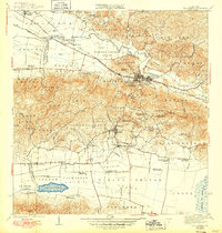
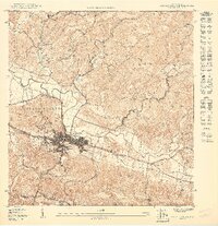
1937 San German
San Germán Municipio, PR

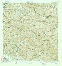
1941 Rosario
San Germán Municipio, PR

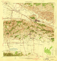
1941 San German
San Germán Municipio, PR
1942 Rosario
San Germán Municipio, PR
1950 Rosario SE
San Germán Municipio, PR
1950 San German NE
San Germán Municipio, PR

1950 San German NO
San Germán Municipio, PR

1955 Rosario
San Germán Municipio, PR

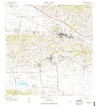
1957 San German
San Germán Municipio, PR

1964 Rosario
San Germán Municipio, PR
1966 San German
San Germán Municipio, PR
Featured Locations
- San Germán, San Germán
- Sector La Panchita, San Germán
- Palo Solo, San Germán
- Lajas, Lajas
- Sector Los Pardos, Lajas