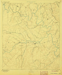
1894 Map of San Saba
USGS Topo · Published 1907About this map
The confluence of the San Saba River and the Colorado River defines this Central Texas landscape, where deep river valleys cut through the Edwards Plateau. The county seat of San Saba serves as the primary hub, situated just south of the river that shares its name. In the northern reaches, the Gulf Colorado and Santa Fe Railroad enters the map near Goldthwaite, illustrating the early rail development that bypassed the older river towns in favor of the higher prairie routes. Small agricultural outposts like Richland Springs and Regency are scattered across the terrain, with family-named features like Harkey Knobs and Hanna Valley indicating the early settlement patterns of the 1880s. The intricate network of seasonal creeks, including Pecan Bayou and Cherokee Creek, reveals the drainage patterns essential to the region's ranching history.
Find a feature on this map
43 named features on this map. Tap any name to fly to it.
Don’t see what you’re looking for? This feature index may not catch every label — zoom into the map to look around manually.
Map Details
Editions of this 1894 San Saba Map
4 editions found

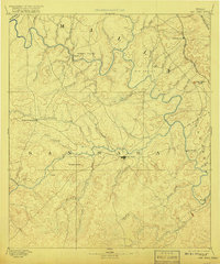
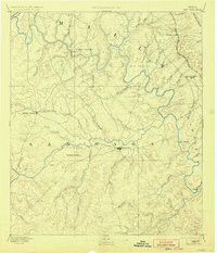
Other maps of this area

1885 · San Saba
USGS Topo · 1:125,000

1887 · Llano
USGS Topo · 1:125,000

1887 · Lampasas
USGS Topo · 1:125,000

1887 · Mason
USGS Topo · 1:125,000

1887 · Burnet
USGS Topo · 1:125,000

1887 · Coleman
USGS Topo · 1:125,000

1888 · Hamilton
USGS Topo · 1:125,000

1889 · Brownwood
USGS Topo · 1:125,000

1889 · Coleman
USGS Topo · 1:125,000

1893 · Burnet
USGS Topo · 1:125,000