
1894 Map of San Saba
USGS Topo · Published 1894About this map
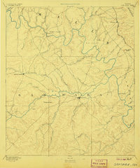
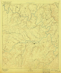
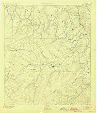
San Saba serves as the central hub of this central Texas landscape, situated at the junction of Simpson Creek and the San Saba River. Surveyed in the mid-1880s, the map illustrates a region defined by its significant watercourses and early transportation corridors, including the Gulf Colorado and Santa Fe Railroad cutting through the northeastern corner near Goldthwaite. The terrain is marked by distinctive elevations such as San Saba Peak and the Harkey Knobs, while the river valleys provided fertile ground for early settlements. Notable outposts like Richland Springs and Regency are documented alongside geographical features like Hanna Valley and Big Valley. The intricate network of seasonal and perennial streams, including Pecan Bayou and Cherokee Creek, highlights the importance of water access for the ranching and agricultural interests of the late nineteenth century.
Find a feature on this map
45 named features on this map. Tap any name to fly to it.
Don’t see what you’re looking for? This feature index may not catch every label — zoom into the map to look around manually.
Map Details
Editions of this 1894 San Saba Map
4 editions found
Other maps of this area

1885 · San Saba
USGS Topo · 1:125,000

1887 · Llano
USGS Topo · 1:125,000

1887 · Lampasas
USGS Topo · 1:125,000

1887 · Mason
USGS Topo · 1:125,000

1887 · Burnet
USGS Topo · 1:125,000

1887 · Coleman
USGS Topo · 1:125,000

1888 · Hamilton
USGS Topo · 1:125,000

1889 · Brownwood
USGS Topo · 1:125,000

1889 · Coleman
USGS Topo · 1:125,000

1893 · Burnet
USGS Topo · 1:125,000