1985 Map of San Saba
USGS Topo · Published 1992About this map
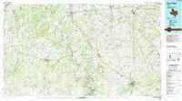
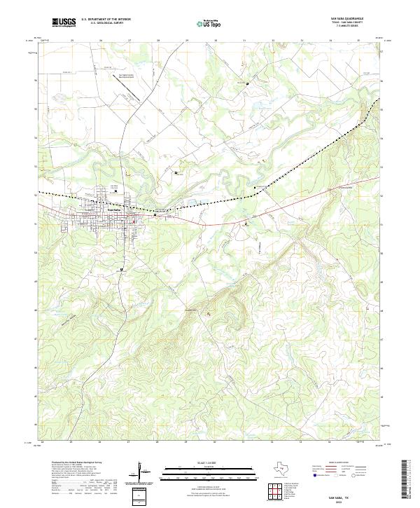
The Colorado River snakes through the heart of this Central Texas landscape, defining the boundaries between San Saba and Mills counties as it flows toward the southeast. The mid-1980s terrain is marked by the distinct uplands of Brady Mountain and numerous peaks such as Castle Top Peak and Twin Sister Peaks. Transportation and commerce are anchored by the Atchison Topeka and Santa Fe RR, which connects established cattle and agricultural hubs like Goldthwaite, Lometa, and the county seat at San Saba. Smaller, localized settlements such as Durenville, Skeeterville, and Algerita appear along the regional highway network of U.S. Hwy 190 and State Hwy 16. For the genealogist, the map preserves locations of rural life including the Oak Hill Cem and various unnamed School sites that served these dispersed communities before the turn of the century.
Find a feature on this map
91 named features on this map. Tap any name to fly to it.
Don’t see what you’re looking for? This feature index may not catch every label — zoom into the map to look around manually.
Map Details
Editions of this 1985 San Saba Map
2 editions found

Historical Maps of Lampasas Through Time
10 maps found

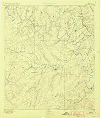
1885 San Saba
San Saba County, TX
1894 San Saba
San Saba County, TX
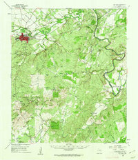
1959 San Saba
San Saba County, TX
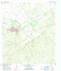
1959 San Saba
San Saba County, TX
1985 San Saba
San Saba County, TX
2010 San Saba
San Saba County, TX
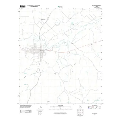
2013 San Saba
San Saba County, TX
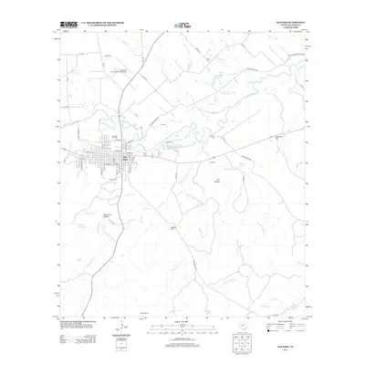
2016 San Saba
San Saba County, TX
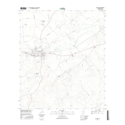
2019 San Saba
San Saba County, TX
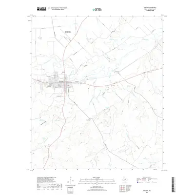
2022 San Saba
San Saba County, TX