
1964 Map of Sand Ridge
USGS Topo · Published 1967About this map
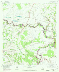
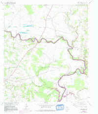
The Trinity River snakes through the center of this 1960s survey, marking the boundary between Houston and Madison counties. This region is characterized by a mix of river bottomlands and upland settlements, where small rural communities like Antioch and Vistula center around local landmarks such as Antioch Ch and Union Grove Ch. The landscape reveals an era of active resource extraction, indicated by numerous Gas Wells, a Refinery, and a Gravel Pit near the riverbanks. To the south, the extensive acreage of the Eastham State Prison Farm occupies a significant portion of the river bend, contrasting with the scattered family cemeteries like Boatman Cem and Union Grove Cem that anchor the local genealogy of the area. Oxbow lakes including Patterson Lake and Snag Lake illustrate the shifting nature of the river's path over time.
Find a feature on this map
35 named features on this map. Tap any name to fly to it.
Don’t see what you’re looking for? This feature index may not catch every label — zoom into the map to look around manually.
Map Details
Editions of this 1964 Sand Ridge Map
3 editions found
Other maps of this area

1953 · Palestine
USGS Topo · 1:250,000

1954 · Beaumont
USGS Topo · 1:250,000

1957 · Beaumont
USGS Topo · 1:250,000

1957 · Palestine
USGS Topo · 1:250,000

1962 · Connor
USGS Topo · 1:24,000

1962 · Wyser Bottom
USGS Topo · 1:24,000

1962 · Baker Lake
USGS Topo · 1:24,000

1964 · Austonio
USGS Topo · 1:24,000

1964 · Pearsons Chapel
USGS Topo · 1:24,000

1964 · Middleton
USGS Topo · 1:24,000