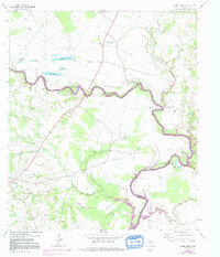
1964 Map of Sand Ridge
USGS Topo · Published 1991About this map
The Trinity River snakes through this low-lying borderland between Madison and Houston counties, defining a landscape of oxbow lakes and seasonal drainage. Large tracts are dominated by the Eastham State Prison Farm in the south and the rising waters of Lake Livingston Elevation 131, where the map identifies areas subject to controlled inundation following the 1972 photorevisions. Settlement is concentrated in small pockets like Sand Ridge and Midway, with a clear network of rural infrastructure including the Refinery and numerous gas wells.
Find a feature on this map
40 named features on this map. Tap any name to fly to it.
Don’t see what you’re looking for? This feature index may not catch every label — zoom into the map to look around manually.
Map Details
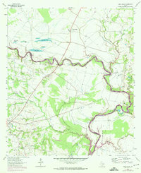
Editions of this 1964 Sand Ridge Map
3 editions found
Other maps of this area

1953 · Palestine
USGS Topo · 1:250,000

1954 · Beaumont
USGS Topo · 1:250,000

1957 · Beaumont
USGS Topo · 1:250,000

1957 · Palestine
USGS Topo · 1:250,000

1962 · Connor
USGS Topo · 1:24,000

1962 · Wyser Bottom
USGS Topo · 1:24,000

1962 · Baker Lake
USGS Topo · 1:24,000

1964 · Sand Ridge
USGS Topo · 1:24,000

1964 · Austonio
USGS Topo · 1:24,000

1964 · Pearsons Chapel
USGS Topo · 1:24,000