
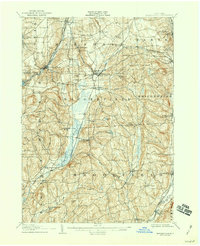
1907 Map of Sangerfield
USGS Topo · Published 1907About this map
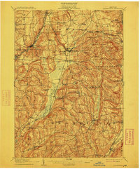
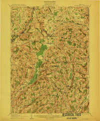
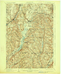
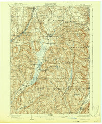
The upper headwaters of the Sangerfield River and Oriskany Creek define this rural landscape spanning the borders of Oneida and Madison counties. Early 20th-century transportation dominates the settlement pattern, with the Ontario & Western RR and the Delaware Lackawanna & Western RR intersecting at Waterville. This village, along with Oriskany Falls and Bridgewater, serves as a primary hub for the surrounding agricultural community, where numerous crossroads like Peck Corners and Hanover dot the upland terrain.
Find a feature on this map
73 named features on this map. Tap any name to fly to it.
Don’t see what you’re looking for? This feature index may not catch every label — zoom into the map to look around manually.
Map Details
Editions of this 1907 Sangerfield Map
6 editions found
Other maps of this area

1895 · Oriskany
USGS Topo · 1:62,500

1895 · Oneida
USGS Topo · 1:62,500

1898 · Oneida
USGS Topo · 1:62,500

1898 · Utica
USGS Topo · 1:62,500

1898 · Oriskany
USGS Topo · 1:62,500

1900 · Utica
USGS Topo · 1:62,500

1902 · Morrisville
USGS Topo · 1:62,500

1902 · Oneida
USGS Topo · 1:62,500

1903 · Norwich
USGS Topo · 1:62,500

1907 · Winfield
USGS Topo · 1:62,500