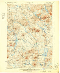
1923 Map of Santa Clara
USGS Topo · Published 1932About this map
Santa Clara serves as a central hub in this Franklin County landscape, situated along the New York Central RR and the St Regis River. The 1921 survey reveals a region defined by its timber and rail dependencies, where the Brooklyn RR and Cooperage Road suggest the specialized industries of the era. To the north and east, the terrain rises into prominent peaks like Humbug Mtn and Mt Immortelle, while lower elevations are marked by an intricate network of waterways including Meacham Lake and Lake Titus. Small settlements and outposts like Everton, Duane Center, and McColloms anchor the township boundaries of Malone, Duane, and Brighton. Local genealogy and land history are preserved through numerous family-named landmarks such as Bearcove Hill, Jennings Mtn, and Leboeuf Hill, alongside scattered rural schoolhouses including School No 25.
Find a feature on this map
112 named features on this map. Tap any name to fly to it.
Don’t see what you’re looking for? This feature index may not catch every label — zoom into the map to look around manually.
Map Details
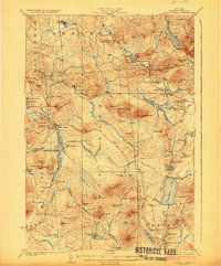
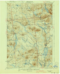
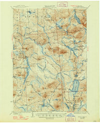
Editions of this 1923 Santa Clara Map
5 editions found

Other maps of this area

1902 · Saranac
USGS Topo · 1:62,500

1904 · Saranac
USGS Topo · 1:62,500

1905 · Saint Regis
USGS Topo · 1:62,500

1906 · Loon Lake
USGS Topo · 1:62,500

1908 · Loon Lake
USGS Topo · 1:62,500

1915 · Chateaugay
USGS Topo · 1:62,500

1915 · Malone
USGS Topo · 1:62,500

1915 · Moira
USGS Topo · 1:62,500

1917 · Malone
USGS Topo · 1:62,500

1917 · Moira
USGS Topo · 1:62,500