
1923 Map of Santa Clara
USGS Topo · Published 1923About this map
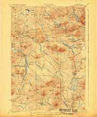
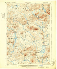
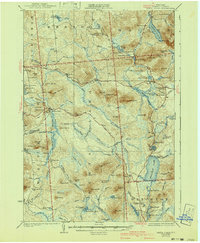
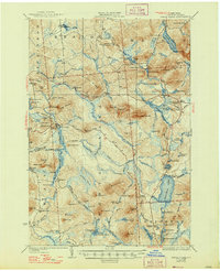
Santa Clara serves as a primary hub in this portion of the Adirondacks, where the New York Central Railroad (Ottawa Division) and the Cooperage RR define the region's industrial and transport corridors. The map details a landscape transition from the concentrated settlement at Duane Center to the more dispersed communities of Everton and Madawaska. This era of development is visible through the infrastructure of numerous small schoolhouses, including McCollom School and School No 2, serving isolated rural populations.
Find a feature on this map
111 named features on this map. Tap any name to fly to it.
Don’t see what you’re looking for? This feature index may not catch every label — zoom into the map to look around manually.
Map Details
Editions of this 1923 Santa Clara Map
5 editions found
Other maps of this area

1902 · Saranac
USGS Topo · 1:62,500

1904 · Saranac
USGS Topo · 1:62,500

1905 · Saint Regis
USGS Topo · 1:62,500

1906 · Loon Lake
USGS Topo · 1:62,500

1908 · Loon Lake
USGS Topo · 1:62,500

1915 · Chateaugay
USGS Topo · 1:62,500

1915 · Malone
USGS Topo · 1:62,500

1915 · Moira
USGS Topo · 1:62,500

1917 · Malone
USGS Topo · 1:62,500

1917 · Moira
USGS Topo · 1:62,500