
1902 Map of Santa Cruz
USGS Topo · Published 1902About this map
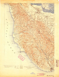
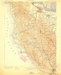
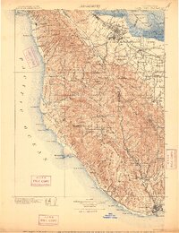
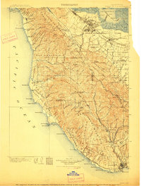
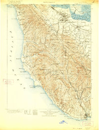
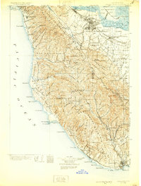
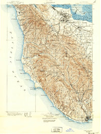
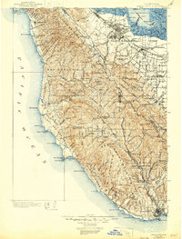
Stanford University and Palo Alto anchor the northeastern landscape of this turn-of-the-century coastal study, where the Southern Pacific R. R. connects early bay-side settlements like Mayfield and Castro. The map transition from the tidal sloughs of the San Francisco Bay to the high ridges of Ben Lomond Mountain and Big Basin, capturing a period before heavy development reached the redwood-forested interior. Along the Pacific edge, isolated coastal outposts like Pescadero and San Gregorio sit between prominent navigation markers like the Pigeon Point lighthouse and Año Nuevo Point.
Find a feature on this map
166 named features on this map. Tap any name to fly to it.
Don’t see what you’re looking for? This feature index may not catch every label — zoom into the map to look around manually.
Map Details
Editions of this 1902 Santa Cruz Map
9 editions found
Other maps of this area

1889 · San Jose
USGS Topo · 1:62,500

1892 · San Mateo
USGS Topo · 1:62,500

1896 · San Mateo
USGS Topo · 1:62,500

1897 · San Jose
USGS Topo · 1:62,500

1897 · Palo Alto
USGS Topo · 1:62,500

1899 · San Jose
USGS Topo · 1:62,500

1899 · Palo Alto
USGS Topo · 1:62,500

1899 · Haywards
USGS Topo · 1:62,500

1899 · San Mateo
USGS Topo · 1:62,500

1906 · Pleasanton
USGS Topo · 1:62,500