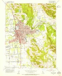
1954 Map of Santa Rosa
USGS Topo · Published 1955About this map
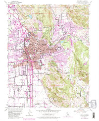
Santa Rosa appears at a significant point of mid-century expansion, centered on the historic Courthouse and post office while new residential developments like Montgomery Village push eastward. The city’s agricultural and civic foundations are visible at the County Fairgrounds and the Luther Burbank Gardens, while institutional presence is marked by the County Hospital and Hillcrest Detention Home. Transportation patterns are defined by the Redwood Highway and the Northwestern Pacific railroad, which includes the Wye siding. To the south, the Naval Auxiliary Air Station sits in an inactive state, reflecting the area's recent military history. The landscape transitions from the urban core to the surrounding peaks of Taylor Mtn and the Bennett Mountains, with localized industry indicated by a Quarry near Kawana Springs and a Gravel Pit along Santa Rosa Creek.
Find a feature on this map
86 named features on this map. Tap any name to fly to it.
Don’t see what you’re looking for? This feature index may not catch every label — zoom into the map to look around manually.
Map Details
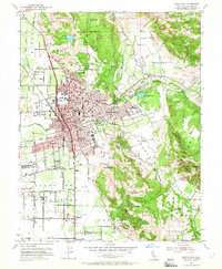
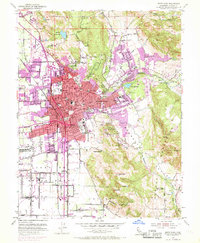
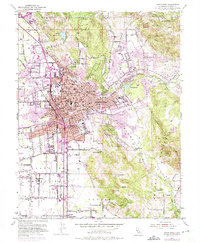
Editions of this 1954 Santa Rosa Map
6 editions found
Other maps of this area

1916 · Santa Rosa
USGS Topo · 1:62,500

1920 · Healdsburg
USGS Topo · 1:62,500

1927 · Calistoga
USGS Topo · 1:62,500

1933 · Healdsburg
USGS Topo · 1:48,000

1935 · Sebastopol
USGS Topo · 1:48,000

1940 · Healdsburg
USGS Topo · 1:62,500

1942 · Sebastopol
USGS Topo · 1:62,500

1943 · Calistoga
USGS Topo · 1:62,500

1944 · Santa Rosa
USGS Topo · 1:62,500

1945 · Calistoga
USGS Topo · 1:62,500
Featured Places
- Santa Rosa, CA
- Bellevue, Santa Rosa
- Melita, Santa Rosa
- Larkfield-Wikiup, CA
- South Santa Rosa, Santa Rosa