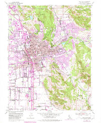
1954 Map of Santa Rosa
USGS Topo · Published 1980About this map
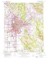
Santa Rosa serves as the focal point of this mid-century landscape, positioned at the crossroads of the Northwestern Pacific railroad and a developing network of local roads like Sonoma Ave. The map illustrates the city's post-war expansion, with numerous new residential blocks and schools such as Steele Lane Sch and Herbert Slater Jr High Sch appearing alongside established landmarks like the Luther Burbank Gardens and the County Fairgrounds. To the east, the transition from urban density to the foothills of Taylor Mtn and Bennett Mtn is marked by water features including Lake Ralphine and several reservoirs.
Find a feature on this map
62 named features on this map. Tap any name to fly to it.
Don’t see what you’re looking for? This feature index may not catch every label — zoom into the map to look around manually.
Map Details
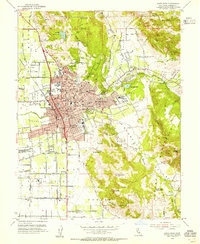
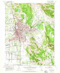
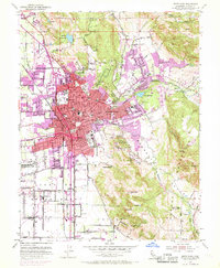
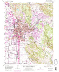
Editions of this 1954 Santa Rosa Map
6 editions found
Other maps of this area

1916 · Santa Rosa
USGS Topo · 1:62,500

1920 · Healdsburg
USGS Topo · 1:62,500

1927 · Calistoga
USGS Topo · 1:62,500

1933 · Healdsburg
USGS Topo · 1:48,000

1935 · Sebastopol
USGS Topo · 1:48,000

1940 · Healdsburg
USGS Topo · 1:62,500

1942 · Sebastopol
USGS Topo · 1:62,500

1943 · Calistoga
USGS Topo · 1:62,500

1944 · Santa Rosa
USGS Topo · 1:62,500

1945 · Calistoga
USGS Topo · 1:62,500
Featured Places
- Santa Rosa, CA
- Bellevue, Santa Rosa
- Melita, Santa Rosa
- Larkfield-Wikiup, CA
- South Santa Rosa, Santa Rosa