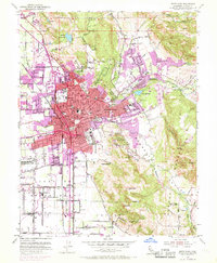
1954 Map of Santa Rosa
USGS Topo · Published 1969About this map
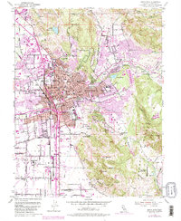
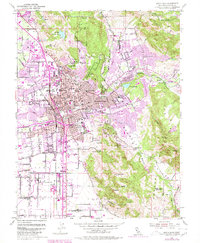
Santa Rosa serves as the bustling hub of this mid-century survey, showing the city's post-war expansion toward Montgomery Village and Rincon Valley. The landscape is a detailed map of civic and social life, from the campus of Santa Rosa Junior College to the legacy of the Luther Burbank Gardens. Purple revisions from 1968 highlight the rapid urban growth over the original 1954 base, particularly around the Redwood Highway and the Northwestern Pacific railroad corridor. Outside the city limits, the terrain transitions into the agricultural and natural features of the Llano De Santa Rosa, marked by Taylor Mtn and Bennett Mtn. Notable local institutions like the County Hospital and Hillcrest Detention Home sit alongside several historic burial grounds, including the Rural Cemetery and Odd Fellows Cem. The presence of the Naval Auxiliary Air Station (Inactive) southwest of the city center reflects the area's military aviation history during the era.
Find a feature on this map
72 named features on this map. Tap any name to fly to it.
Don’t see what you’re looking for? This feature index may not catch every label — zoom into the map to look around manually.
Map Details
Editions of this 1954 Santa Rosa Map
6 editions found
Other maps of this area

1916 · Santa Rosa
USGS Topo · 1:62,500

1920 · Healdsburg
USGS Topo · 1:62,500

1927 · Calistoga
USGS Topo · 1:62,500

1933 · Healdsburg
USGS Topo · 1:48,000

1935 · Sebastopol
USGS Topo · 1:48,000

1940 · Healdsburg
USGS Topo · 1:62,500

1942 · Sebastopol
USGS Topo · 1:62,500

1943 · Calistoga
USGS Topo · 1:62,500

1944 · Santa Rosa
USGS Topo · 1:62,500

1945 · Calistoga
USGS Topo · 1:62,500
Featured Places
- Santa Rosa, CA
- Bellevue, Santa Rosa
- Melita, Santa Rosa
- Larkfield-Wikiup, CA
- South Santa Rosa, Santa Rosa