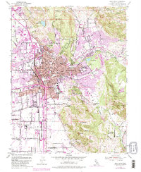
1954 Map of Santa Rosa
USGS Topo · Published 1980About this map
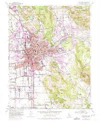
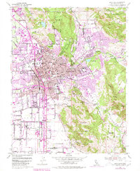
The city of Santa Rosa serves as the focal point for this mid-century survey, showcasing a period of significant urban expansion and infrastructure development in Sonoma County. The map details the dense residential grids pushing outward into the Los Guilicos Valley and Bennett Valley, where agricultural lands transition into early suburban developments like Montgomery Village. Significant civic landmarks are meticulously documented, including the sprawling Sonoma County Fairgrounds and the Santa Rosa Air Center, alongside established institutions like Santa Rosa Jr College and the County Hospital.
Find a feature on this map
52 named features on this map. Tap any name to fly to it.
Don’t see what you’re looking for? This feature index may not catch every label — zoom into the map to look around manually.
Map Details
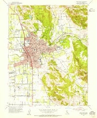
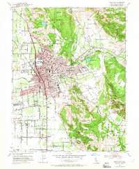
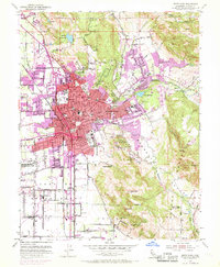
Editions of this 1954 Santa Rosa Map
6 editions found
Other maps of this area

1916 · Santa Rosa
USGS Topo · 1:62,500

1920 · Healdsburg
USGS Topo · 1:62,500

1927 · Calistoga
USGS Topo · 1:62,500

1933 · Healdsburg
USGS Topo · 1:48,000

1935 · Sebastopol
USGS Topo · 1:48,000

1940 · Healdsburg
USGS Topo · 1:62,500

1942 · Sebastopol
USGS Topo · 1:62,500

1943 · Calistoga
USGS Topo · 1:62,500

1944 · Santa Rosa
USGS Topo · 1:62,500

1945 · Calistoga
USGS Topo · 1:62,500
Featured Places
- Santa Rosa, CA
- Bellevue, Santa Rosa
- Melita, Santa Rosa
- Larkfield-Wikiup, CA
- South Santa Rosa, Santa Rosa