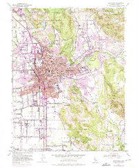
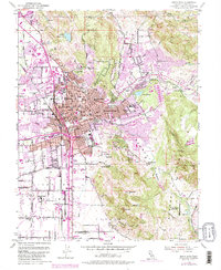
1954 Map of Santa Rosa
USGS Topo · Published 1975About this map
Santa Rosa serves as the bustling heart of this mid-century survey, showing a landscape in transition as residential developments like Montgomery Village and Rincon Valley expand into the surrounding valleys. The downtown core is densely detailed, featuring the Luther Burbank Gardens, the Natl Guard Armory, and the Veterans Mem Auditorium. A notable concentration of local heritage sites includes the Rural Cemetery, IOOF Cem, and Calvary Cemetery, providing essential data for genealogical research.
Find a feature on this map
78 named features on this map. Tap any name to fly to it.
Don’t see what you’re looking for? This feature index may not catch every label — zoom into the map to look around manually.
Map Details
Editions of this 1954 Santa Rosa Map
6 editions found
Other maps of this area

1916 · Santa Rosa
USGS Topo · 1:62,500

1920 · Healdsburg
USGS Topo · 1:62,500

1927 · Calistoga
USGS Topo · 1:62,500

1933 · Healdsburg
USGS Topo · 1:48,000

1935 · Sebastopol
USGS Topo · 1:48,000

1940 · Healdsburg
USGS Topo · 1:62,500

1942 · Sebastopol
USGS Topo · 1:62,500

1943 · Calistoga
USGS Topo · 1:62,500

1944 · Santa Rosa
USGS Topo · 1:62,500

1945 · Calistoga
USGS Topo · 1:62,500
Featured Places
- Santa Rosa, CA
- Bellevue, Santa Rosa
- Melita, Santa Rosa
- Larkfield-Wikiup, CA
- South Santa Rosa, Santa Rosa