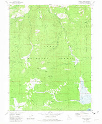
1981 Map of Sardine Peak
USGS Topo · Published 1982About this map
Sardine Peak and its accompanying Sardine Lookout dominate the central high ground of this topographic survey, which documents the remote timber and grazing lands of the Tahoe National Forest. The landscape is defined by high-elevation flats and seasonal watercourses, including Sardine Valley and Kyburz Flat, where the presence of Wheelers Sheep Camp points to the area's legacy of high-country livestock grazing.
Find a feature on this map
32 named features on this map. Tap any name to fly to it.
Don’t see what you’re looking for? This feature index may not catch every label — zoom into the map to look around manually.
Map Details
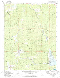
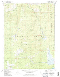
Editions of this 1981 Sardine Peak Map
3 editions found
Other maps of this area

1890 · Sierraville
USGS Topo · 1:125,000

1891 · Truckee
USGS Topo · 1:125,000

1892 · Sierraville
USGS Topo · 1:125,000

1893 · Truckee
USGS Topo · 1:125,000

1894 · Sierraville
USGS Topo · 1:125,000

1895 · Truckee
USGS Topo · 1:125,000

1932 · Truckee
USGS Topo · 1:96,000

1940 · Truckee
USGS Topo · 1:125,000

1955 · Loyalton
USGS Topo · 1:62,500
1955 · Donner Pass
USGS Topo · 1:62,500