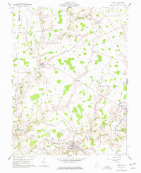
1961 Map of Sardinia
USGS Topo · Published 1977About this map
The Norfolk and Western railway corridor and the southern drainage of White Oak Creek define the landscape of this 1961 survey of southern Ohio. Centered on the village of Sardinia, the map illustrates a rural society organized around small crossroads and family cemeteries. At the southeastern edge, Mowrystown sits near the Old R R Grade, indicating a shift in local transportation infrastructure. Numerous small burial grounds, including Bells Run Cem, Bratton Cem, and McNeely Cem, are scattered across the townships, providing a clear geographic record for genealogical research in both Brown and Highland counties. The terrain is marked by a network of drainage runs such as Ruble Run and Bells Run, which feed into the primary creek system that supported the area's agricultural development.
Find a feature on this map
55 named features on this map. Tap any name to fly to it.
Don’t see what you’re looking for? This feature index may not catch every label — zoom into the map to look around manually.
Map Details
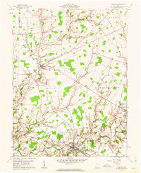
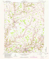
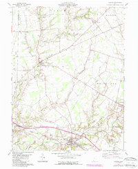
Editions of this 1961 Sardinia Map
4 editions found
Other maps of this area

1917 · Hillsboro
USGS Topo · 1:62,500

1917 · Sardinia
USGS Topo · 1:62,500

1918 · Seaman
USGS Topo · 1:62,500

1928 · Higginsport
USGS Topo · 1:48,000

1931 · Higginsport
USGS Topo · 1:62,500

1944 · Hillsboro
USGS Topo · 1:62,500

1944 · Sardinia
USGS Topo · 1:62,500

1947 · Columbus
USGS Topo · 1:250,000

1957 · Huntington
USGS Topo · 1:250,000

1960 · Huntington
USGS Topo · 1:250,000