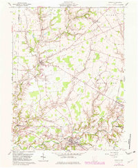
1961 Map of Sardinia
USGS Topo · Published 1982About this map
The village of Sardinia and the surrounding borderlands of Brown and Highland Counties are defined by the winding tributaries of White Oak Creek. This landscape, primarily part of the Virginia Military District, reveals a rural settlement pattern established along the Norfolk and Western railroad and a network of named country roads. Significant genealogical markers are scattered throughout the agricultural townships, including Sardinia Cem, Buford Cemetery, and the Hollowtown Cem in the northeast corner. Smaller hamlets like Buford, Gath, and Needfull serve as local anchors, while the terrain is etched by numerous runs such as Ruble Run and Flat Run. In the south, the Sardinia Reservoir and East Fork White Oak Creek reflect the area's essential water management and drainage, supporting the communities of Mowrystown and its neighboring Claypit. This survey, updated with 1979 aerial data, captures the region's mid-century transition as modern highway construction began to overlay the traditional farm-to-market paths.
Find a feature on this map
55 named features on this map. Tap any name to fly to it.
Don’t see what you’re looking for? This feature index may not catch every label — zoom into the map to look around manually.
Map Details
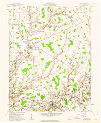
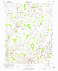
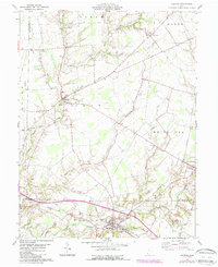
Editions of this 1961 Sardinia Map
4 editions found
Other maps of this area

1917 · Hillsboro
USGS Topo · 1:62,500

1917 · Sardinia
USGS Topo · 1:62,500

1918 · Seaman
USGS Topo · 1:62,500

1928 · Higginsport
USGS Topo · 1:48,000

1931 · Higginsport
USGS Topo · 1:62,500

1944 · Hillsboro
USGS Topo · 1:62,500

1944 · Sardinia
USGS Topo · 1:62,500

1947 · Columbus
USGS Topo · 1:250,000

1957 · Huntington
USGS Topo · 1:250,000

1960 · Huntington
USGS Topo · 1:250,000