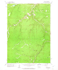
1961 Map of Savoy
USGS Topo · Published 1963About this map
Spearfish Creek carves a dramatic path through this high-altitude section of the Black Hills National Forest in the early 1960s. The settlement of Savoy serves as a central hub, situated at the confluence where Spearfish Falls and Roughlock Falls drop from the surrounding plateaus. The map details a landscape transition from the broad Limestone Plateau in the south to the deeply incised gulches of the north, including Hellsgate Gulch and Calamity Gulch. Local landmarks like the Little Spearfish Guard Station and various camps, including Rod and Gun Campground, indicate the area's mid-century role as a primary recreation and forestry outpost. An intricate network of water management is visible through labels like Aqueduct, while smaller settlements such as Preston and Elmore highlight the localized mining and timber history of the region. Distinctive place names like What the Hell Spring and Dead Oz Spring offer a glimpse into the vernacular geography of these South Dakota highlands.
Find a feature on this map
44 named features on this map. Tap any name to fly to it.
Don’t see what you’re looking for? This feature index may not catch every label — zoom into the map to look around manually.
Map Details
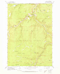
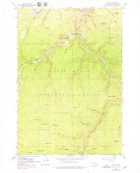
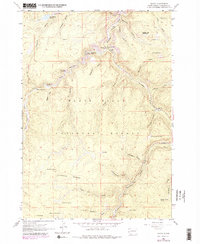
Editions of this 1961 Savoy Map
4 editions found
Other maps of this area

1894 · Deadwood
USGS Topo · 1:125,000

1898 · Sundance
USGS Topo · 1:125,000

1900 · Spearfish
USGS Topo · 1:62,500

1901 · Deadwood
USGS Topo · 1:125,000

1902 · Sundance
USGS Topo · 1:125,000

1915 · Spearfish
USGS Topo · 1:62,500

1916 · Deadwood
USGS Topo · 1:125,000

1953 · Rapid City
USGS Topo · 1:250,000

1954 · Gillette
USGS Topo · 1:250,000

1955 · Gillette
USGS Topo · 1:250,000