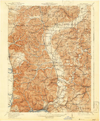
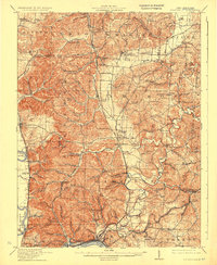
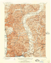
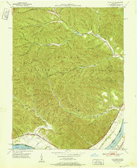
1913 Map of Sciotoville
USGS Topo · Published 1942About this map
The Little Scioto River and its numerous tributaries dominate the landscape of Scioto and Pike counties in this early twentieth-century survey. The region is defined by a dense network of rural schoolhouses and industrial remnants, such as Harrison Furnace School and Scioto Furnace, reflecting the transition from an iron-producing economy to a more settled agricultural and timber-based society. The intricate drainage patterns of Buckhorn Creek and Long Run are interspersed with family-named landmarks and high points like Haystack Knob and Diffen Hill.
Find a feature on this map
137 named features on this map. Tap any name to fly to it.
Don’t see what you’re looking for? This feature index may not catch every label — zoom into the map to look around manually.
Map Details
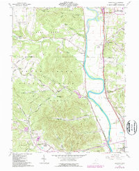
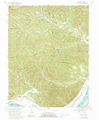
Editions of this 1913 Sciotoville Map
2 editions found
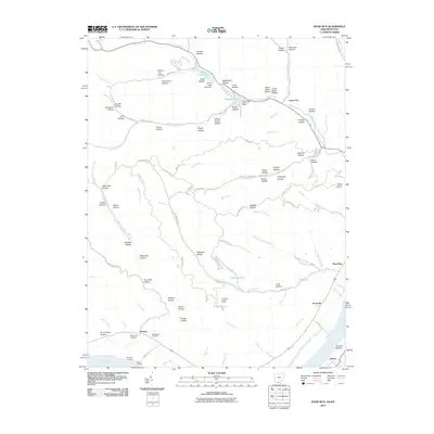
Historical Maps of Portsmouth Through Time
16 maps found
1911 Sciotoville
Scioto County, OH
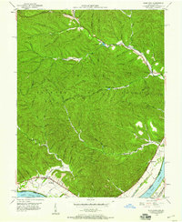
1913 Sciotoville
Scioto County, OH
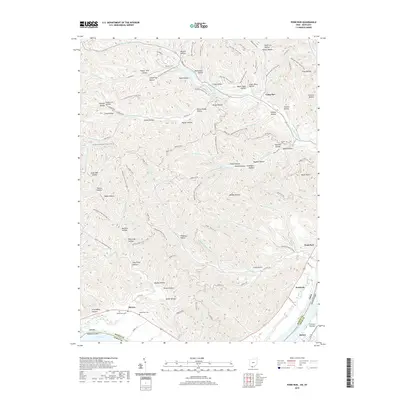
1949 Pond Run
Scioto County, OH
1951 Pond Run
Scioto County, OH
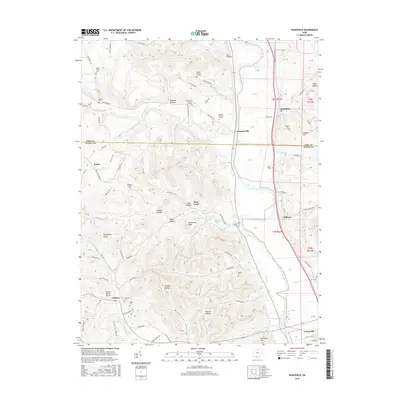
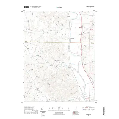
1961 Wakefield
Scioto County, OH
1967 Pond Run
Scioto County, OH
2010 Pond Run
Scioto County, OH
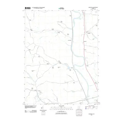
2010 Wakefield
Scioto County, OH
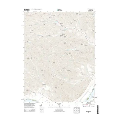
2013 Pond Run
Scioto County, OH
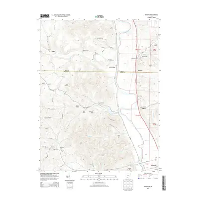
2013 Wakefield
Scioto County, OH
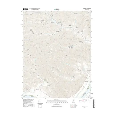
2016 Pond Run
Scioto County, OH
2016 Wakefield
Scioto County, OH
2019 Pond Run
Scioto County, OH
2019 Wakefield
Scioto County, OH
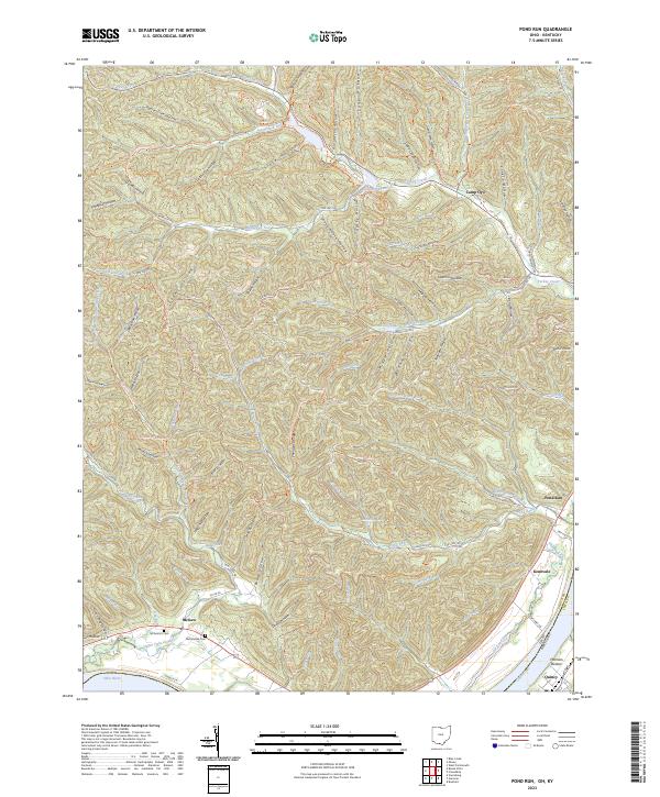
2023 Pond Run
Scioto County, OH
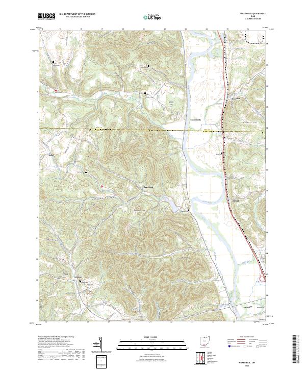
2023 Wakefield
Scioto County, OH