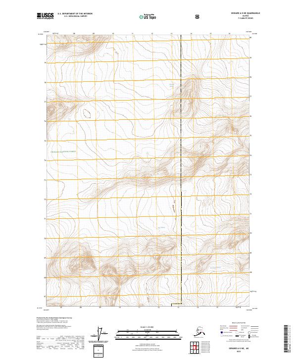
2023 Map of Seward A-5 NE
USGS Topo · Published 2023About this map
The massive ice fields of the Chugach National Forest dominate this landscape on the Kenai Peninsula. This 2023 survey documents the modern extent of three primary ice flows: Chenega Glacier in the north, Tiger Glacier near the center, and Bainbridge Glacier to the south. The contour lines illustrate the extreme elevation changes typical of this coastal alpine environment, where glacial movement continues to shape the topography within the various township and range designations such as t1n r5e and t2n r5e. Unlike more settled regions, this area remains characterized by its lack of infrastructure, focusing instead on the natural hydrography and glaciology of the Kenai mountains.
Find a feature on this map
9 named features on this map. Tap any name to fly to it.
Don’t see what you’re looking for? This feature index may not catch every label — zoom into the map to look around manually.
Map Details
Editions of this 2023 Seward A-5 NE Map
This is the sole edition of this map. No revisions or reprints were ever made.
Other maps of this area

1951 · Seward
USGS Topo · 1:250,000

1951 · Seward B-4
USGS Topo · 1:63,360

1951 · Seward A-5
USGS Topo · 1:63,360

1951 · Seward B-5
USGS Topo · 1:63,360

1951 · Seward A-4
USGS Topo · 1:63,360

1952 · Seward A-5
USGS Topo · 1:63,360

1952 · Seward B-4
USGS Topo · 1:63,360

1952 · Seward A-4
USGS Topo · 1:63,360

1952 · Seward B-5
USGS Topo · 1:63,360

1953 · Seward
USGS Topo · 1:250,000