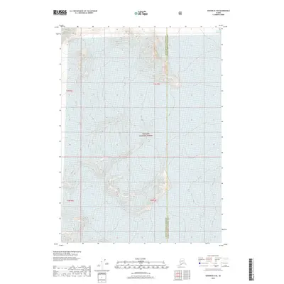
2018 Map of Seward B-5 SE
USGS Topo · Published 2018About this map
Chugach National Forest dominates this Alaskan landscape, where the high-altitude terrain is defined by steep contours and glacial ice. The boundary between the Kenai Peninsula Borough and the Valdez-Cordova Census Area cuts vertically through the eastern portion of the map, marking a significant administrative division in this undeveloped wilderness. In the northeastern corner, the Princeton Glacier spills across the high peaks, illustrating the active cryosphere typical of the region. The map reflects a landscape almost entirely devoid of human infrastructure, focusing instead on the complex topography and natural drainage patterns within the national forest system. Surveyed by the U.S. Geological Survey, the sheet provides a meticulous record of the elevations and townships that define this portion of the Seward B-5 SE quadrangle.
Find a feature on this map
7 named features on this map. Tap any name to fly to it.
Don’t see what you’re looking for? This feature index may not catch every label — zoom into the map to look around manually.
Map Details
Editions of this 2018 Seward B-5 SE Map
This is the sole edition of this map. No revisions or reprints were ever made.
Other maps of this area

1951 · Seward
USGS Topo · 1:250,000

1951 · Seward B-4
USGS Topo · 1:63,360

1951 · Seward A-5
USGS Topo · 1:63,360

1951 · Seward B-5
USGS Topo · 1:63,360

1951 · Seward A-4
USGS Topo · 1:63,360

1952 · Seward A-5
USGS Topo · 1:63,360

1952 · Seward B-4
USGS Topo · 1:63,360

1952 · Seward A-4
USGS Topo · 1:63,360

1952 · Seward B-5
USGS Topo · 1:63,360

1953 · Seward
USGS Topo · 1:250,000