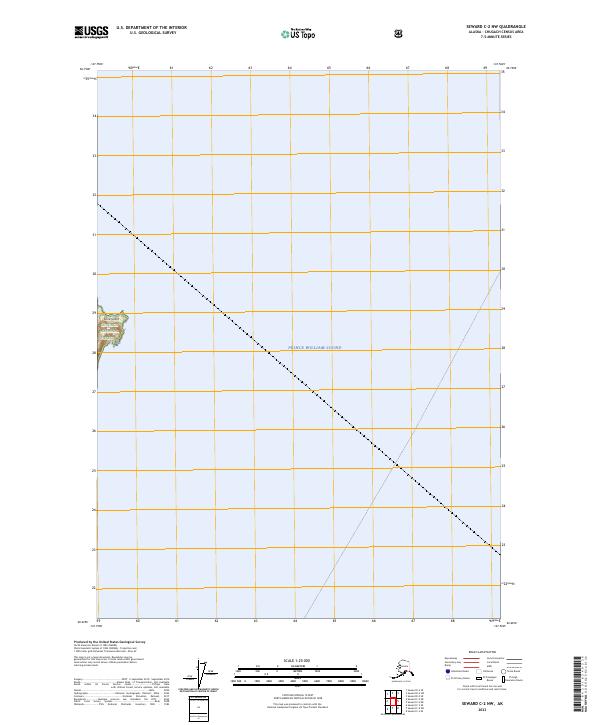
2023 Map of Seward C-2 NW
USGS Topo · Published 2023About this map
Prince William Sound dominates this coastal Alaska survey, detailing a section of the northern waters within the Chugach National Forest. The map is primarily comprised of open water, highlighting the maritime landscape where Lone Island serves as a lone terrestrial anchor in the western portion of the sheet. The grid system defined by townships like t7n r10e and t7n r11e provides a precise spatial framework over the sound, illustrating how modern administrative boundaries are mapped onto these vast Alaskan waters. This sheet documents the intersection of protected national forest lands with the coastal reaches of the Chugach Census Area, capturing the geographical character of the sound in the early 2020s.
Find a feature on this map
9 named features on this map. Tap any name to fly to it.
Don’t see what you’re looking for? This feature index may not catch every label — zoom into the map to look around manually.
Map Details
Editions of this 2023 Seward C-2 NW Map
This is the sole edition of this map. No revisions or reprints were ever made.
Other maps of this area

1951 · Seward
USGS Topo · 1:250,000

1951 · Seward D-2
USGS Topo · 1:63,360

1951 · Seward D-3
USGS Topo · 1:63,360

1951 · Seward C-3
USGS Topo · 1:63,360

1951 · Seward C-2
USGS Topo · 1:63,360

1952 · Seward D-3
USGS Topo · 1:63,360

1952 · Seward C-3
USGS Topo · 1:63,360

1952 · Seward C-2
USGS Topo · 1:63,360

1952 · Seward D-2
USGS Topo · 1:63,360

1953 · Seward
USGS Topo · 1:250,000