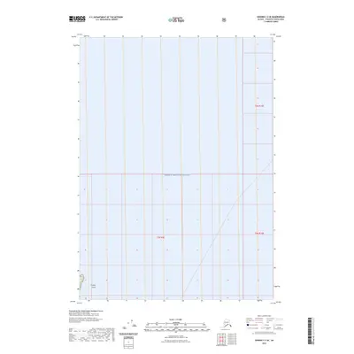
2023 Map of Seward C-3 SE
USGS Topo · Published 2023About this map
Prince William Sound dominates this coastal Alaska survey, representing the maritime environment of the Chugach Census Area. The expansive waters are bounded by the public land survey system grids of t5n r9e, t5n r10e, and t6n r10e, illustrating the administrative division of this undeveloped region. Along the southwestern edge, Crafton Island emerges as the primary terrestrial landmark within the sound's waters. This 2023 edition reflects the contemporary shoreline and hydrological data as documented by the U.S. Geological Survey. While the area remains largely devoid of modern infrastructure or roads, the mapping of the island and the sound provides a clear look at the navigational and geographical layout of the coastline.
Find a feature on this map
5 named features on this map. Tap any name to fly to it.
Don’t see what you’re looking for? This feature index may not catch every label — zoom into the map to look around manually.
Map Details
Editions of this 2023 Seward C-3 SE Map
This is the sole edition of this map. No revisions or reprints were ever made.
Other maps of this area

1950 · Seward B-3
USGS Topo · 1:63,360

1951 · Seward
USGS Topo · 1:250,000

1951 · Seward B-2
USGS Topo · 1:63,360

1951 · Seward C-3
USGS Topo · 1:63,360

1951 · Seward C-2
USGS Topo · 1:63,360

1952 · Seward B-3
USGS Topo · 1:63,360

1952 · Seward C-3
USGS Topo · 1:63,360

1952 · Seward B-2
USGS Topo · 1:63,360

1952 · Seward C-2
USGS Topo · 1:63,360

1953 · Seward
USGS Topo · 1:250,000