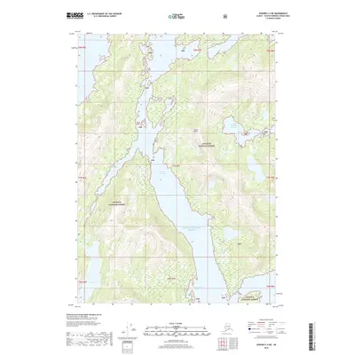
2018 Map of Seward C-4 NE
USGS Topo · Published 2018About this map
Prince William Sound defines this coastal reach of the Chugach National Forest, where the complex marine geography of South Central Alaska is on full display. The central landform, Culross Island, is separated from the mainland by the narrow Culross Passage, a waterway carved into the mountainous shoreline. The map documents a landscape almost entirely shaped by water and elevation, showing the deep inlets of Long Bay and Goose Bay as they penetrate the forest boundary. For those navigating the terrain, the Shrode Lake Trail provides one of the few established land routes through the dense forest, passing near water bodies like Lake Jack. Small features like Picturesque Cove and Hidden Bay illustrate the intricate coastline that has long dictated movement and settlement patterns in this part of the Unorganized Borough.
Find a feature on this map
20 named features on this map. Tap any name to fly to it.
Don’t see what you’re looking for? This feature index may not catch every label — zoom into the map to look around manually.
Map Details
Editions of this 2018 Seward C-4 NE Map
This is the sole edition of this map. No revisions or reprints were ever made.
Other maps of this area

1951 · Seward
USGS Topo · 1:250,000

1951 · Seward D-4
USGS Topo · 1:63,360

1951 · Seward D-3
USGS Topo · 1:63,360

1951 · Seward C-4
USGS Topo · 1:63,360

1951 · Seward C-3
USGS Topo · 1:63,360

1952 · Seward D-3
USGS Topo · 1:63,360

1952 · Seward C-3
USGS Topo · 1:63,360

1952 · Seward D-4
USGS Topo · 1:63,360

1952 · Seward C-4
USGS Topo · 1:63,360

1953 · Seward
USGS Topo · 1:250,000