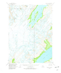
1951 Map of Seward C-5
USGS Topo · Published 1970About this map
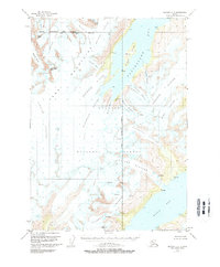
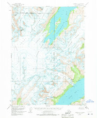
Chugach National Forest encompasses this ice-choked corridor of the Kenai Mountains, where the landscape is defined by massive glacial systems flowing into the deep fjords of the Prince William Sound region. The survey documents a complex network of ice fields and named peaks, including Byron Peak and Carpathian Peak, which stand as landmarks above the high-elevation Crevasses that mark the active movement of the ice.
Find a feature on this map
28 named features on this map. Tap any name to fly to it.
Don’t see what you’re looking for? This feature index may not catch every label — zoom into the map to look around manually.
Map Details
Editions of this 1951 Seward C-5 Map
4 editions found
Other maps of this area

1951 · Seward
USGS Topo · 1:250,000

1951 · Seward C-6
USGS Topo · 1:63,360

1951 · Seward D-5
USGS Topo · 1:63,360

1951 · Seward B-4
USGS Topo · 1:63,360

1951 · Seward C-5
USGS Topo · 1:63,360

1951 · Seward D-4
USGS Topo · 1:63,360

1951 · Seward B-6
USGS Topo · 1:63,360

1951 · Seward B-5
USGS Topo · 1:63,360

1951 · Seward C-4
USGS Topo · 1:63,360

1951 · Seward D-6
USGS Topo · 1:63,360