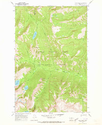
1970 Map of Shaw Creek
USGS Topo · Published 1973About this map
Flathead National Forest and the Bob Marshall Wilderness dominate this high-altitude landscape along the border of Missoula and Powell counties. The 1970 survey reveals a remote backcountry infrastructure centered around the Shaw Creek Guard Sta, which served as a vital outpost for forest management and fire protection in the era. The mapping of the Big Salmon Pack Trail and Gordon Creek Pack Trail indicates a reliance on horse and foot travel through the drainage basins of Big Salmon Creek and Gordon Creek. Numerous alpine water bodies, including the high-elevation Lena Lake, Big Knife Lakes, and Doctor Lake, are documented here alongside prominent summits like Lena Peak and Trio Mountain. This record is essential for understanding the historical preservation and accessibility of one of the nation's earliest designated wilderness areas.
Find a feature on this map
36 named features on this map. Tap any name to fly to it.
Don’t see what you’re looking for? This feature index may not catch every label — zoom into the map to look around manually.
Map Details
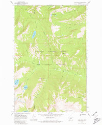
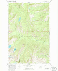
Editions of this 1970 Shaw Creek Map
3 editions found
Other maps of this area

1902 · Ovando
USGS Topo · 1:125,000

1905 · Ovando
USGS Topo · 1:125,000

1921 · Elbow Lake
USGS Topo · 1:125,000

1936 · Silvertip
USGS Topo · 1:96,000

1942 · Silvertip
USGS Topo · 1:125,000

1955 · Choteau
USGS Topo · 1:250,000

1957 · Choteau
USGS Topo · 1:250,000

1958 · Choteau
USGS Topo · 1:250,000

1962 · Choteau
USGS Topo · 1:250,000

1965 · Holland Lake
USGS Topo · 1:24,000