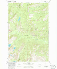
1970 Map of Shaw Creek
USGS Topo · Published 1986About this map
The Bob Marshall Wilderness and Flathead National Forest meet in this 1970 survey of the high backcountry along the Missoula Co Powell Co line. The landscape is defined by an extensive network of pack trails and foot trails that navigate the drainages of Salmon Creek, Shaw Creek, and Gordon Creek. Notable peaks such as Lena Peak and Shaw Mountain overlook several alpine water bodies, including Lena Lake, Koessler Lake, and the Big Knife Lakes. The isolation of the region is emphasized by the presence of the Shaw Creek Guard Sta and the absence of any improved roads. For researchers of wilderness management or environmental history, the map provides a precise record of the indefinite boundary lines and remote landmarks like Shirttail Park and Shamrock Point before modern satellite mapping.
Find a feature on this map
31 named features on this map. Tap any name to fly to it.
Don’t see what you’re looking for? This feature index may not catch every label — zoom into the map to look around manually.
Map Details
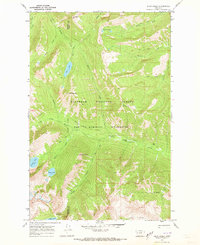
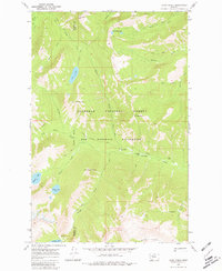
Editions of this 1970 Shaw Creek Map
3 editions found
Other maps of this area

1902 · Ovando
USGS Topo · 1:125,000

1905 · Ovando
USGS Topo · 1:125,000

1921 · Elbow Lake
USGS Topo · 1:125,000

1936 · Silvertip
USGS Topo · 1:96,000

1942 · Silvertip
USGS Topo · 1:125,000

1955 · Choteau
USGS Topo · 1:250,000

1957 · Choteau
USGS Topo · 1:250,000

1958 · Choteau
USGS Topo · 1:250,000

1962 · Choteau
USGS Topo · 1:250,000

1965 · Holland Lake
USGS Topo · 1:24,000