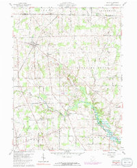
1960 Map of Shiloh
USGS Topo · Published 1991About this map
The village of Shiloh anchors the northwestern corner of this landscape, where the Penn Central railroad cuts a diagonal path through the countryside. This 1960 survey illustrates the distinct transition at the Huron Co Richland Co line, specifically where the Connecticut Western Reserve Base Line meets the Congress Lands. This boundary creates a visible shift in road patterns and property layouts between Ripley and Cass townships.
Find a feature on this map
59 named features on this map. Tap any name to fly to it.
Don’t see what you’re looking for? This feature index may not catch every label — zoom into the map to look around manually.
Map Details
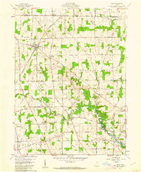
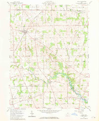
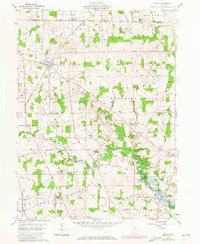
Editions of this 1960 Shiloh Map
4 editions found
Other maps of this area

1908 · Ashland
USGS Topo · 1:62,500

1908 · New London
USGS Topo · 1:62,500

1915 · Norwalk
USGS Topo · 1:62,500

1915 · Crestline
USGS Topo · 1:62,500

1943 · Crestline
USGS Topo · 1:62,500

1944 · Norwalk
USGS Topo · 1:62,500

1950 · Marion
USGS Topo · 1:250,000

1956 · Toledo
USGS Topo · 1:250,000

1960 · New London
USGS Topo · 1:24,000

1960 · Willard
USGS Topo · 1:24,000