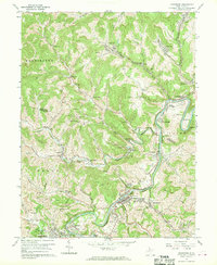
1960 Map of Shinnston
USGS Topo · Published 1970About this map
The West Fork River valley serves as the industrial and social backbone of north-central West Virginia in this 1960 survey. Extensive coal mining and rail infrastructure dominate the landscape, with the Baltimore and Ohio Railroad following the riverbanks to connect settlements like Shinnston and Enterprise. The map reveals a high density of small mining and company towns, including Four States, Carolina, and Idamay, which were essential to the region's extraction economy.
Find a feature on this map
64 named features on this map. Tap any name to fly to it.
Don’t see what you’re looking for? This feature index may not catch every label — zoom into the map to look around manually.
Map Details
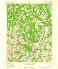
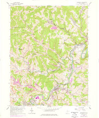
Editions of this 1960 Shinnston Map
3 editions found
Other maps of this area

1902 · Clarksburg
USGS Topo · 1:62,500

1902 · Fairmont
USGS Topo · 1:62,500

1904 · Blacksville
USGS Topo · 1:62,500

1905 · Mannington
USGS Topo · 1:62,500

1910 · Clarksburg
USGS Topo · 1:62,500

1923 · Blacksville
USGS Topo · 1:62,500

1923 · Fairmont
USGS Topo · 1:62,500

1923 · Mannington
USGS Topo · 1:62,500

1923 · Clarksburg
USGS Topo · 1:62,500

1925 · Blacksville
USGS Topo · 1:62,500