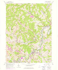
1960 Map of Shinnston
USGS Topo · Published 1978About this map
Shinnston sits at the heart of this industrial landscape along the West Fork River, where the heavy infrastructure of the mid-20th-century coal and energy economy is clearly visible. The map documents a dense network of extraction and transport, from the Baltimore and Ohio railroad lines to the Williams Mine and various Strip Mines surrounding Prospect Valley. Significant industrial landmarks include a large Powerplant near Haywood and a Filtration Plant serving the river valley communities.
Find a feature on this map
82 named features on this map. Tap any name to fly to it.
Don’t see what you’re looking for? This feature index may not catch every label — zoom into the map to look around manually.
Map Details
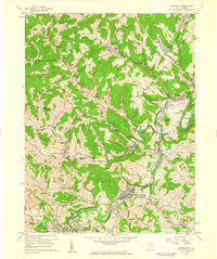
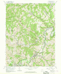
Editions of this 1960 Shinnston Map
3 editions found
Other maps of this area

1902 · Clarksburg
USGS Topo · 1:62,500

1902 · Fairmont
USGS Topo · 1:62,500

1904 · Blacksville
USGS Topo · 1:62,500

1905 · Mannington
USGS Topo · 1:62,500

1910 · Clarksburg
USGS Topo · 1:62,500

1923 · Blacksville
USGS Topo · 1:62,500

1923 · Fairmont
USGS Topo · 1:62,500

1923 · Mannington
USGS Topo · 1:62,500

1923 · Clarksburg
USGS Topo · 1:62,500

1925 · Blacksville
USGS Topo · 1:62,500