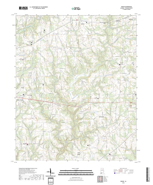
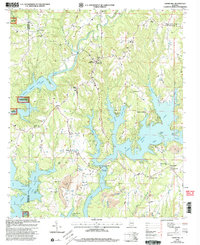
2024 Map of Simcoe
USGS Topo · Published 2024About this map
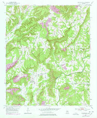
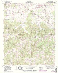
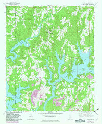
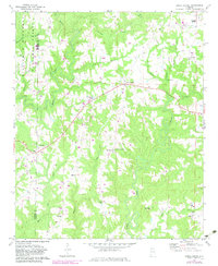
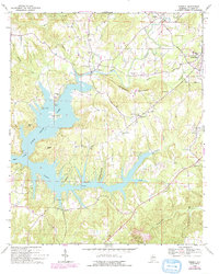
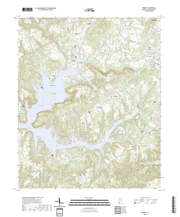
Duck River and its numerous tributaries, including Henderson Branch and Indian Creek, carve a rolling landscape across this portion of Cullman County. The area is defined by a series of small agricultural and residential clusters, with Simcoe, Fairview, and Holly Pond serving as local anchors. The density of family and community burial grounds, such as Kritner Family Cem and Antioch Cem, points to a long-established rural population deeply connected to these specific hills and valleys.
Find a feature on this map
180 named features on this map. Tap any name to fly to it.
Don’t see what you’re looking for? This feature index may not catch every label — zoom into the map to look around manually.
Map Details
Editions of this 2024 Simcoe Map
This is the sole edition of this map. No revisions or reprints were ever made.
Historical Maps of North Walter Through Time
26 maps found

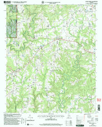
1936 Hulaco
Cullman County, AL
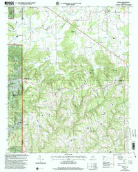
1936 Mc Kendry
Cullman County, AL
1949 Cold Springs
Cullman County, AL
1949 Hulaco
Cullman County, AL
1951 Arkadelphia
Cullman County, AL
1951 Cold Springs
Cullman County, AL
1952 Hulaco
Cullman County, AL
1958 Simcoe
Cullman County, AL
1960 Massey
Cullman County, AL
1969 Crane Hill
Cullman County, AL
1969 Jones Chapel
Cullman County, AL
1969 Trimble
Cullman County, AL
1975 Arkadelphia
Cullman County, AL
1975 Hulaco
Cullman County, AL
1976 Hulaco
Cullman County, AL
2000 Crane Hill
Cullman County, AL
2000 Jones Chapel
Cullman County, AL
2000 Massey
Cullman County, AL
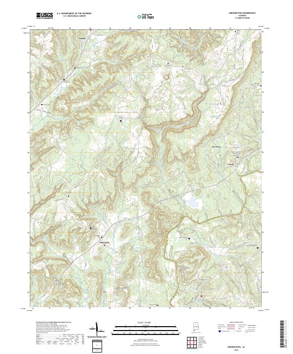
2024 Arkadelphia
Cullman County, AL
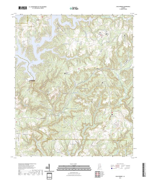
2024 Cold Springs
Cullman County, AL
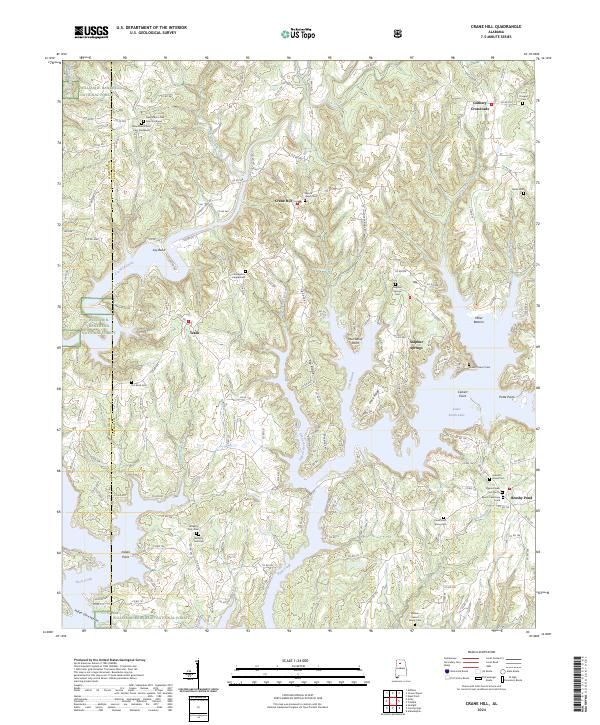
2024 Crane Hill
Cullman County, AL
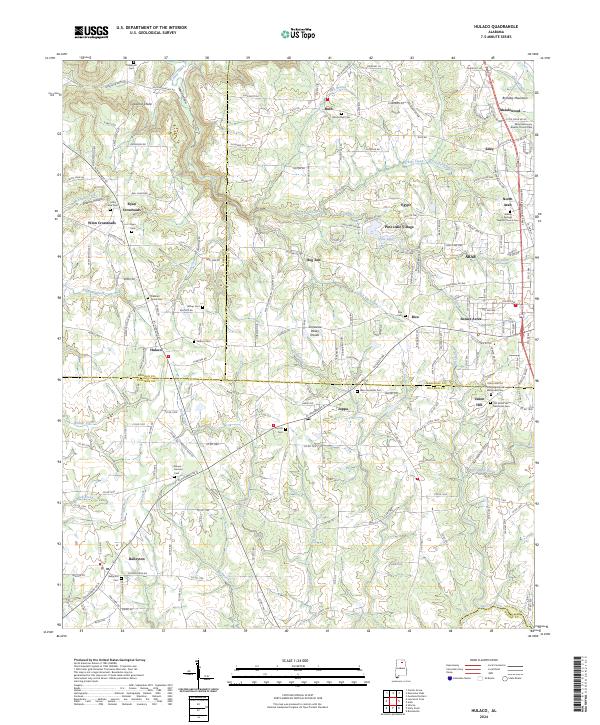
2024 Hulaco
Cullman County, AL
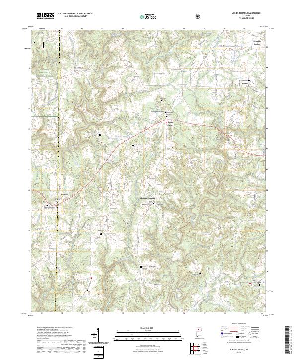
2024 Jones Chapel
Cullman County, AL
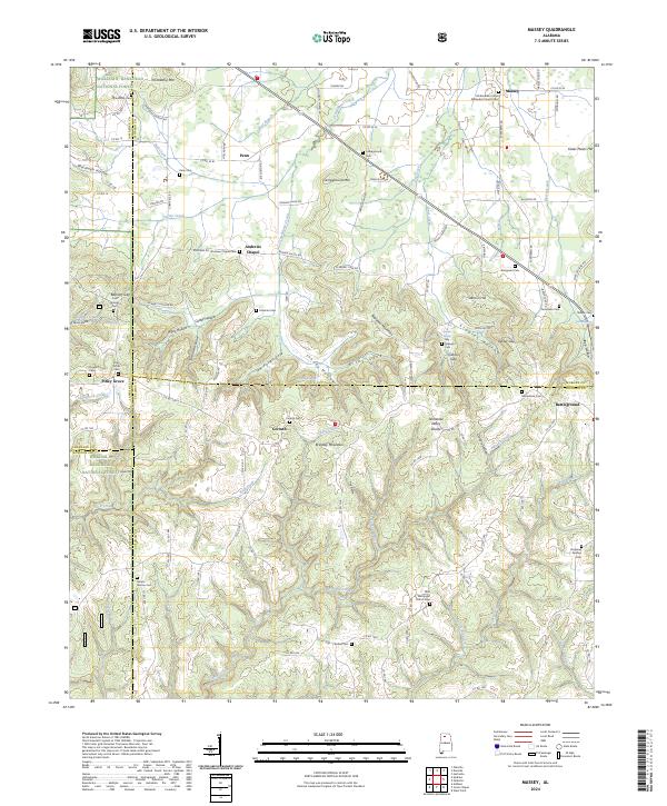
2024 Massey
Cullman County, AL
2024 Simcoe
Cullman County, AL
2024 Trimble
Cullman County, AL