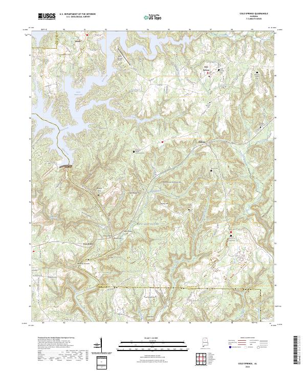
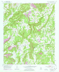
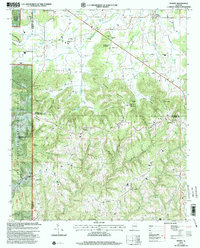
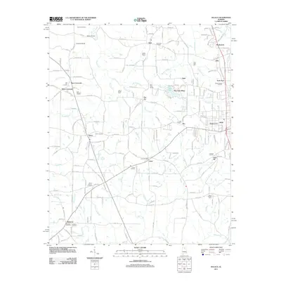
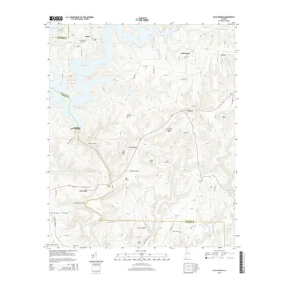
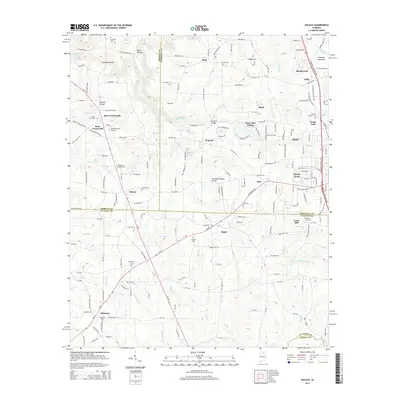
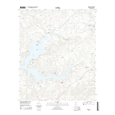
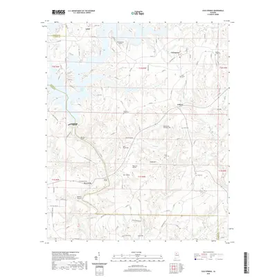
2024 Map of Cold Springs
USGS Topo · Published 2024About this map
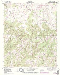
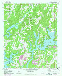
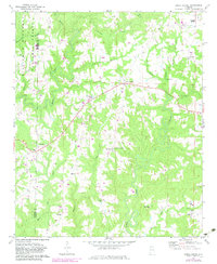
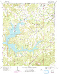
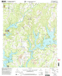
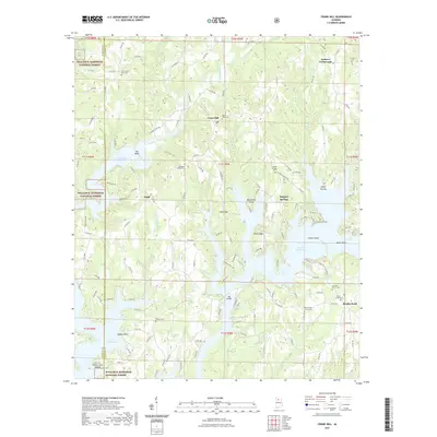
Lewis Smith Lake and the Sipsey Fork dominate the western landscape of this Cullman County region, where the terrain transitions into the high ridges of Mail Route Mtn and Hammonds Shinbone Mtn. The settlement of Cold Springs serves as a local hub, anchored by the Cold Springs Cem and surrounded by a network of rural county roads. This area preserves a history of river crossings and hollows, evidenced by features such as Lindseys Ferry and Parker Ford along the southern waterways.
Find a feature on this map
125 named features on this map. Tap any name to fly to it.
Don’t see what you’re looking for? This feature index may not catch every label — zoom into the map to look around manually.
Map Details
Editions of this 2024 Cold Springs Map
This is the sole edition of this map. No revisions or reprints were ever made.
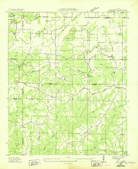
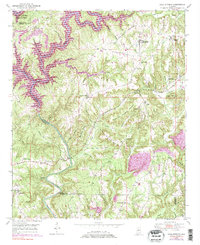
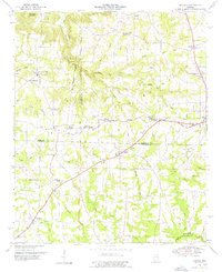
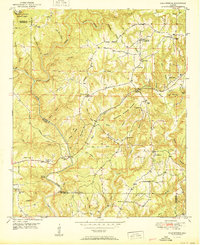
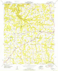
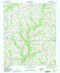
Historical Maps of Powellville Through Time
62 maps found

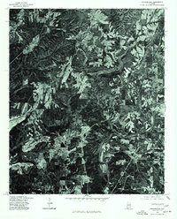
1936 Hulaco
Cullman County, AL
1936 Mc Kendry
Cullman County, AL
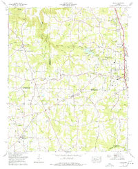
1949 Cold Springs
Cullman County, AL
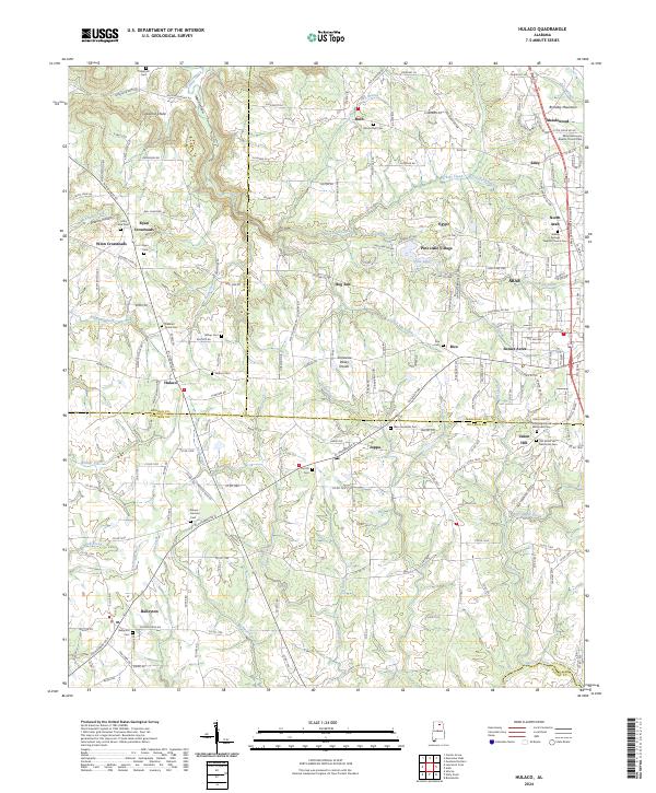
1949 Hulaco
Cullman County, AL
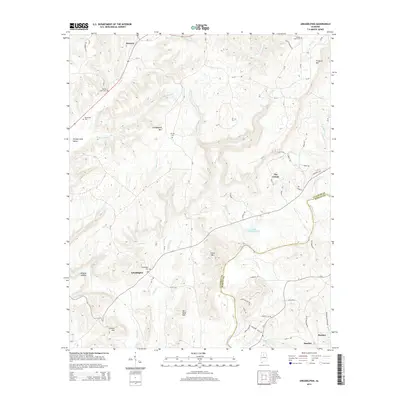
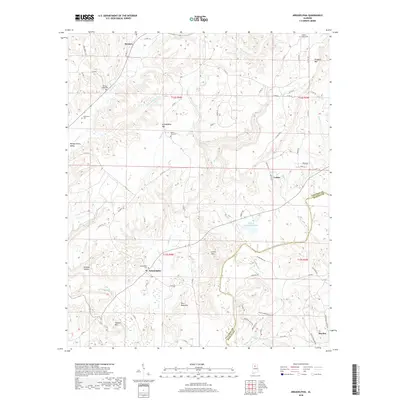
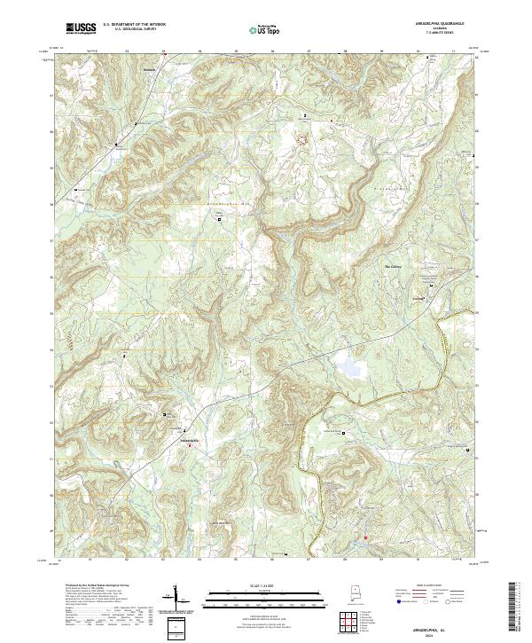
1951 Arkadelphia
Cullman County, AL
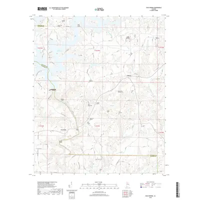
1951 Cold Springs
Cullman County, AL
1952 Hulaco
Cullman County, AL
1958 Simcoe
Cullman County, AL
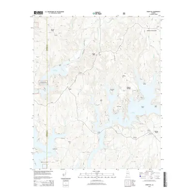
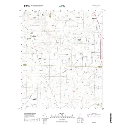
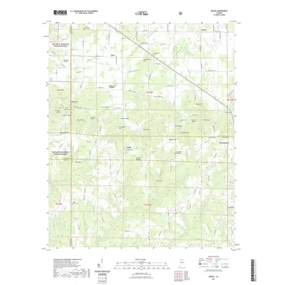
1960 Massey
Cullman County, AL
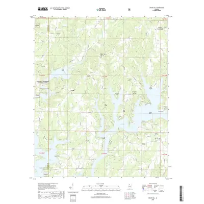
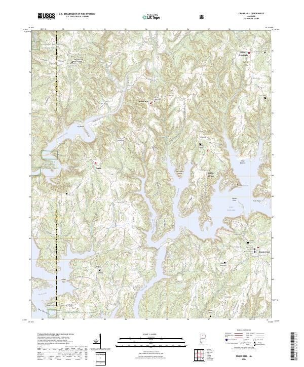
1969 Crane Hill
Cullman County, AL
1969 Jones Chapel
Cullman County, AL
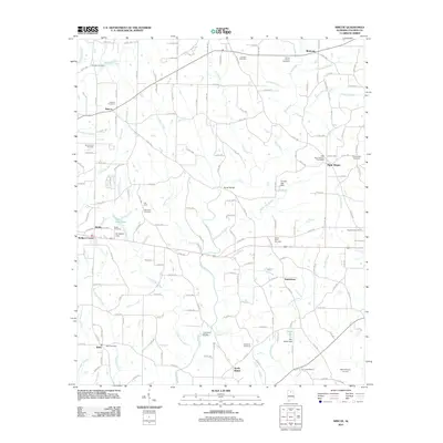
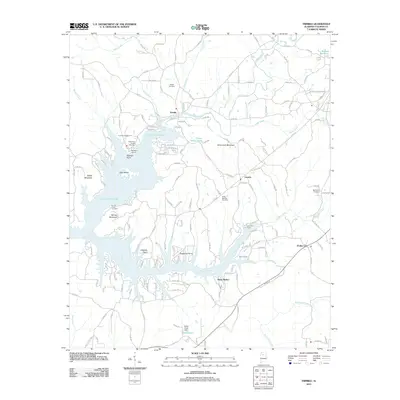
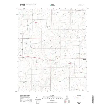
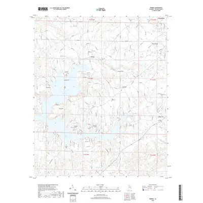
1969 Trimble
Cullman County, AL
1975 Arkadelphia
Cullman County, AL

1975 Hulaco
Cullman County, AL
1976 Hulaco
Cullman County, AL
2000 Crane Hill
Cullman County, AL
2000 Jones Chapel
Cullman County, AL
2000 Massey
Cullman County, AL
2011 Arkadelphia
Cullman County, AL
2011 Cold Springs
Cullman County, AL
2011 Crane Hill
Cullman County, AL
2011 Hulaco
Cullman County, AL
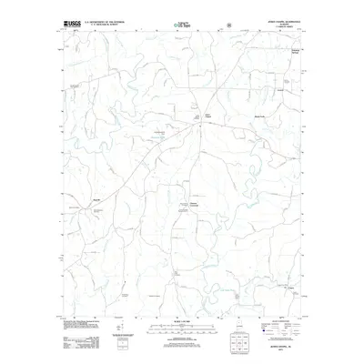
2011 Jones Chapel
Cullman County, AL
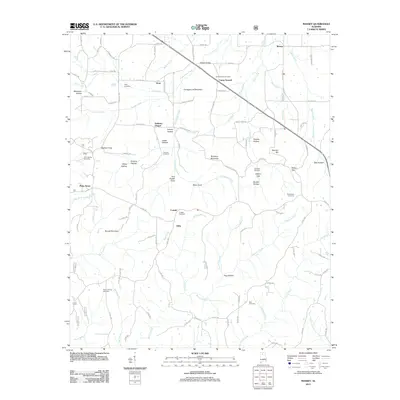
2011 Massey
Cullman County, AL
2011 Simcoe
Cullman County, AL
2011 Trimble
Cullman County, AL
2014 Arkadelphia
Cullman County, AL
2014 Cold Springs
Cullman County, AL
2014 Crane Hill
Cullman County, AL
2014 Hulaco
Cullman County, AL
2014 Jones Chapel
Cullman County, AL
2014 Massey
Cullman County, AL
2014 Simcoe
Cullman County, AL
2014 Trimble
Cullman County, AL
2018 Arkadelphia
Cullman County, AL
2018 Cold Springs
Cullman County, AL
2018 Crane Hill
Cullman County, AL
2018 Hulaco
Cullman County, AL
2018 Jones Chapel
Cullman County, AL
2018 Massey
Cullman County, AL
2018 Simcoe
Cullman County, AL
2018 Trimble
Cullman County, AL
2020 Arkadelphia
Cullman County, AL
2020 Cold Springs
Cullman County, AL
2020 Hulaco
Cullman County, AL
2020 Simcoe
Cullman County, AL
2020 Trimble
Cullman County, AL
2021 Crane Hill
Cullman County, AL
2021 Jones Chapel
Cullman County, AL
2021 Massey
Cullman County, AL
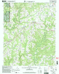
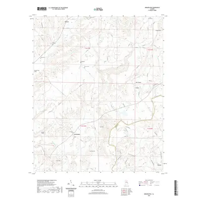
2024 Arkadelphia
Cullman County, AL
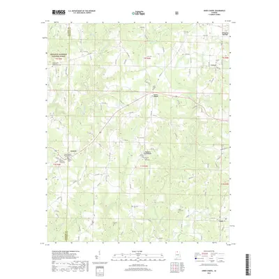
2024 Cold Springs
Cullman County, AL
2024 Crane Hill
Cullman County, AL
2024 Hulaco
Cullman County, AL
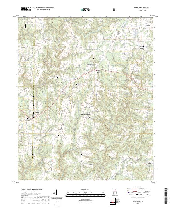
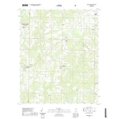
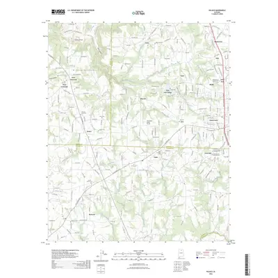
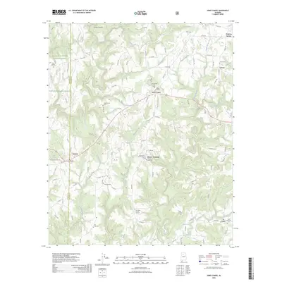
2024 Jones Chapel
Cullman County, AL
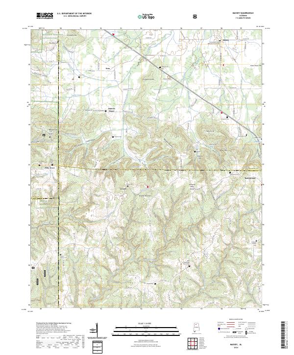
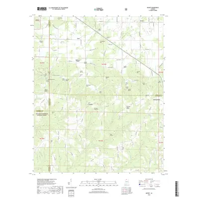
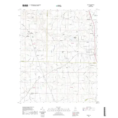
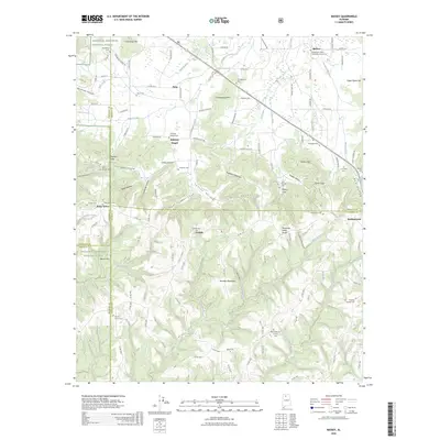
2024 Massey
Cullman County, AL
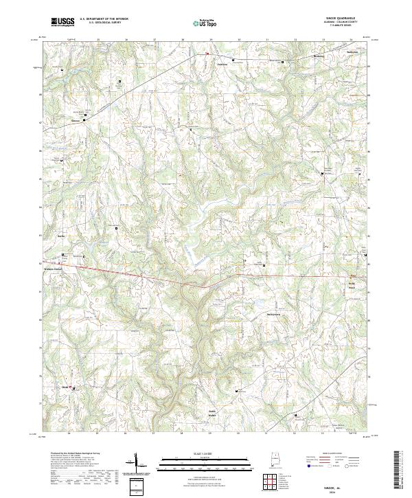
2024 Simcoe
Cullman County, AL
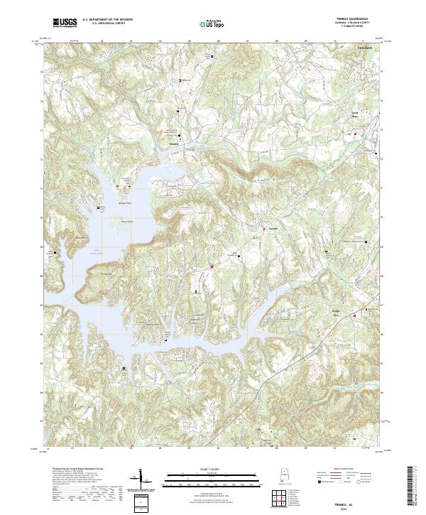
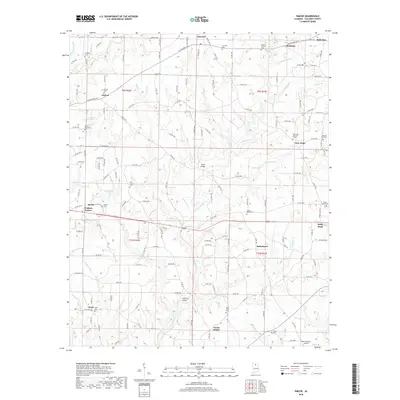
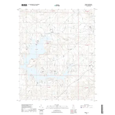
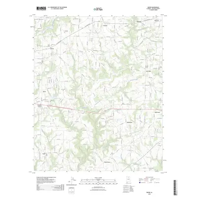
2024 Trimble
Cullman County, AL
2026 Hulaco
Cullman County, AL
2026 Jones Chapel
Cullman County, AL
2026 Massey
Cullman County, AL
2026 Simcoe
Cullman County, AL