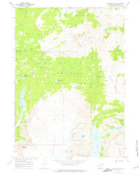
1968 Map of Simpson Lake
USGS Topo · Published 1975About this map
Shoshone National Forest contains a high-altitude drainage system defined by the steep glacial topography of the Wind River Range. The landscape is characterized by a series of alpine lakes and pack trails that facilitate movement through the high country. Central to the area is Simpson Lake, which sits at the head of Jakeys Fork, a tributary surrounded by peaks such as Windy Mountain and Square Top Mountain. This area is a significant historical corridor for recreation and backcountry travel, as evidenced by the dense network of pack routes including the Jakeys Fork Trail (Pack) and the Ross Trail.
Find a feature on this map
51 named features on this map. Tap any name to fly to it.
Don’t see what you’re looking for? This feature index may not catch every label — zoom into the map to look around manually.
Map Details
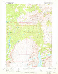
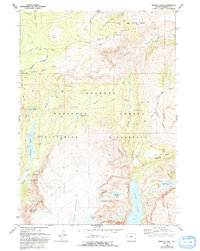
Editions of this 1968 Simpson Lake Map
3 editions found
Other maps of this area

1905 · Younts Peak
USGS Topo · 1:125,000

1907 · Younts Peak
USGS Topo · 1:125,000

1909 · Fremont Peak
USGS Topo · 1:125,000

1955 · Thermopolis
USGS Topo · 1:250,000

1956 · Dubois
USGS Topo · 1:24,000

1956 · Warm Spring Mountain
USGS Topo · 1:24,000

1956 · Mason Draw
USGS Topo · 1:24,000

1958 · Thermopolis
USGS Topo · 1:250,000

1962 · Thermopolis
USGS Topo · 1:250,000
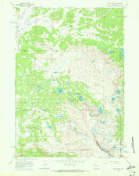
1968 · Union Peak
USGS Topo · 1:24,000