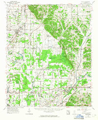
1963 Map of Sledge
USGS Topo · Published 1965About this map
The Illinois Central Railroad anchors the community of Sledge, serving as a primary corridor through the Delta flatlands where Quitman County meets Panola County. This 1963 survey captures a landscape defined by an intricate network of bayous and drainage ditches, including Bayou David and Pecan Bayou, which manage the water levels around established cotton-growing regions. The eastern edge of the quadrangle rises into more varied terrain labeled simply as Rough, where smaller creeks like Peach Creek and Rocky Creek drain toward the Little Tallahatchie River.
Find a feature on this map
95 named features on this map. Tap any name to fly to it.
Don’t see what you’re looking for? This feature index may not catch every label — zoom into the map to look around manually.
Map Details
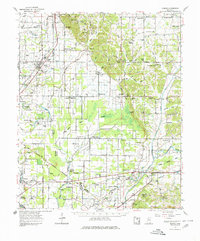
Editions of this 1963 Sledge Map
2 editions found
Other maps of this area

1908 · Walnut Lake
USGS Topo · 1:24,000

1910 · Walnut Lake
USGS Topo · 1:31,680

1932 · Sledge
USGS Topo · 1:48,000

1932 · Tutwiler
USGS Topo · 1:48,000

1932 · Marks
USGS Topo · 1:48,000

1932 · Crenshaw
USGS Topo · 1:62,500

1935 · Crowder
USGS Topo · 1:62,500

1935 · Marks
USGS Topo · 1:62,500

1935 · Crenshaw
USGS Topo · 1:62,500

1935 · Tutwiler
USGS Topo · 1:62,500