1963 Map of Sledge
USGS Topo · Published 1980About this map
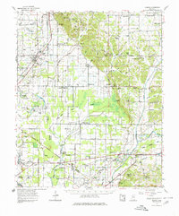
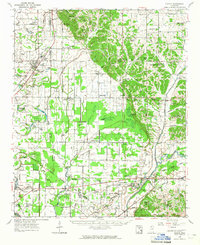
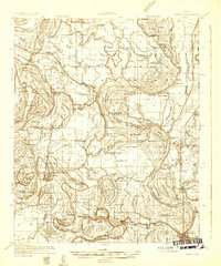
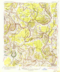
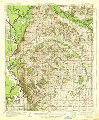
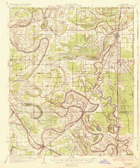
The Chickasaw Boundary Line cuts diagonally across this landscape, marking a significant historical border that persists in the modern property lines and road alignments south of Sledge. This 1960s era survey by the Mississippi River Commission details a rural terrain defined by intricate drainage networks like Yellow Bayou and Pecan Bayou. The Illinois Central railroad serves as the primary transport corridor, connecting settlements such as Crenshaw and Delta with various community hubs.
Find a feature on this map
110 named features on this map. Tap any name to fly to it.
Don’t see what you’re looking for? This feature index may not catch every label — zoom into the map to look around manually.
Map Details
Editions of this 1963 Sledge Map
2 editions found
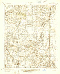
Other maps of this area

1908 · Walnut Lake
USGS Topo · 1:24,000

1910 · Walnut Lake
USGS Topo · 1:31,680
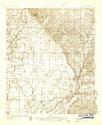
1932 · Sledge
USGS Topo · 1:48,000
1932 · Tutwiler
USGS Topo · 1:48,000
1932 · Marks
USGS Topo · 1:48,000

1932 · Crenshaw
USGS Topo · 1:62,500

1935 · Crowder
USGS Topo · 1:62,500
1935 · Marks
USGS Topo · 1:62,500
1935 · Crenshaw
USGS Topo · 1:62,500
1935 · Tutwiler
USGS Topo · 1:62,500