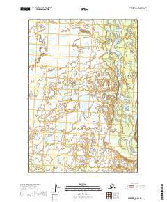
2019 Map of Sleetmute C-1 SW
USGS Topo · Published 2019About this map
The Stony River winds through this corner of the Bethel Census Area, defining a landscape dominated by extensive wetlands and seasonal drainages. This 2019 survey documents a wilderness area where the slow-moving waters of Black Creek and its tributary, Black Cr, meander through saturated ground. The presence of Muskeg Cr highlights the prevalence of peat-forming wetlands that characterize this subarctic terrain, illustrating the complex hydrological network required to drain this low-lying region. While devoid of permanent settlements or roads, the map provides a precise record of the natural watercourses and Public Land Survey System townships, including t17n r38w, which are vital for coordinating activities in this part of Alaska.
Find a feature on this map
10 named features on this map. Tap any name to fly to it.
Don’t see what you’re looking for? This feature index may not catch every label — zoom into the map to look around manually.
Map Details
Editions of this 2019 Sleetmute C-1 SW Map
This is the sole edition of this map. No revisions or reprints were ever made.
Other maps of this area

1950 · Sleetmute
USGS Topo · 1:250,000

1954 · Sleetmute C-2
USGS Topo · 1:63,360

1954 · Sleetmute C-1
USGS Topo · 1:63,360

1954 · Sleetmute
USGS Topo · 1:250,000

1954 · Sleetmute B-2
USGS Topo · 1:63,360
1954 · Sleetmute B-1
USGS Topo · 1:63,360
2019 · Sleetmute C-1 NE
USGS Topo · 1:25,000
2019 · Sleetmute C-2 NE
USGS Topo · 1:25,000
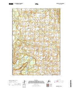
2019 · Sleetmute C-1 SE
USGS Topo · 1:25,000
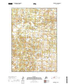
2019 · Sleetmute B-1 NW
USGS Topo · 1:25,000