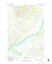
1957 Map of Sleetmute C-7
USGS Topo · Published 1974About this map
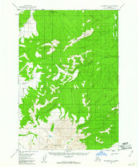
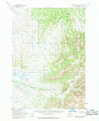
The Kuskokwim River carves a massive path through this Alaskan interior landscape, serving as the primary corridor for movement and settlement during the mid-20th century. At the bend near Gibralter Point, the Holokuk River joins the main flow, creating a complex wetland environment marked by seasonal swamps. Cultural history is concentrated at Little Mountain Village (Site), which includes the Little Mountain Cem, reflecting the area's indigenous and historical occupation patterns. To the north, the terrain rises sharply into the Horn Mountains and Whitewing Valley, while to the west, the curiously named New York settlement sits near the headwaters of Murray Gulch. This survey captures the remote geography before major modern development, focusing on the drainage systems of Sue Creek, Bear Creek, and Veahna Creek.
Find a feature on this map
14 named features on this map. Tap any name to fly to it.
Don’t see what you’re looking for? This feature index may not catch every label — zoom into the map to look around manually.
Map Details
Editions of this 1957 Sleetmute C-7 Map
2 editions found
Other maps of this area

1950 · Sleetmute
USGS Topo · 1:250,000
1954 · Sleetmute C-8
USGS Topo · 1:63,360
1954 · Sleetmute D-8
USGS Topo · 1:63,360

1954 · Sleetmute D-6
USGS Topo · 1:63,360
1954 · Sleetmute D-7
USGS Topo · 1:63,360

1954 · Sleetmute C-6
USGS Topo · 1:63,360

1954 · Sleetmute
USGS Topo · 1:250,000
1954 · Sleetmute B-8
USGS Topo · 1:63,360

1954 · Sleetmute B-6
USGS Topo · 1:63,360

1954 · Sleetmute B-7
USGS Topo · 1:63,360